Olympia in Thurston County, Washington — The American West (Northwest)
The Lone Tree
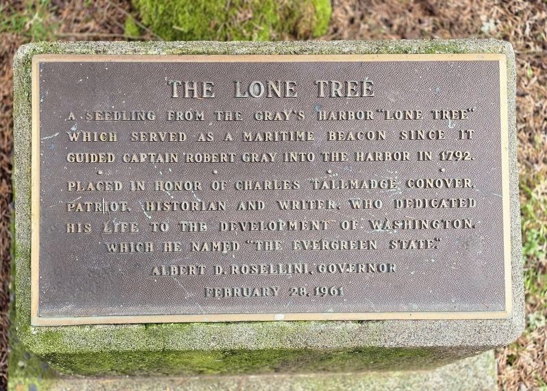
Photographed by Shirley A Stirling, March 7, 2026
1. The Lone Tree Marker
Albert D. Rosellini, Governor
Erected 1961.
Topics. This historical marker is listed in these topic lists: Horticulture & Forestry • Landmarks • Waterways & Vessels. A significant historical year for this entry is 1792.
Location. 47° 1.798′ N, 122° 54.149′ W. Marker is in Olympia, Washington, in Thurston County. It is on West 21st Avenue, on the left when traveling west. Marker and tree are near the street, to left of the entrance path to State Capital Museum, just up a few stairs. Touch for map. Marker is at or near this postal address: 211 West 21st Avenue, Olympia WA 98501, United States of America. Touch for directions.

Regionally, this marker is in the Puget Sound Region and in Greater Seattle. It is also on the American Pacific Coast, in the Pacific Northwest, and in the Lewis & Clark
this page online
Other nearby markers. At least 8 other markers are within walking distance of this marker: Lord Mansion State Capital Museum (within shouting distance of this marker); First Capitol Building (approx. 0.4 miles away); Senator Cal Anderson (approx. 0.4 miles away); The Medal of Honor Monument (approx. 0.4 miles away); An Olmsted Legacy (approx. half a mile away); To the memories of the citizens of the State of Washington (approx. half a mile away); POW AND MIA Monument (approx. half a mile away); Thurston County (approx. half a mile away). Touch for a list and map of all markers in Olympia.
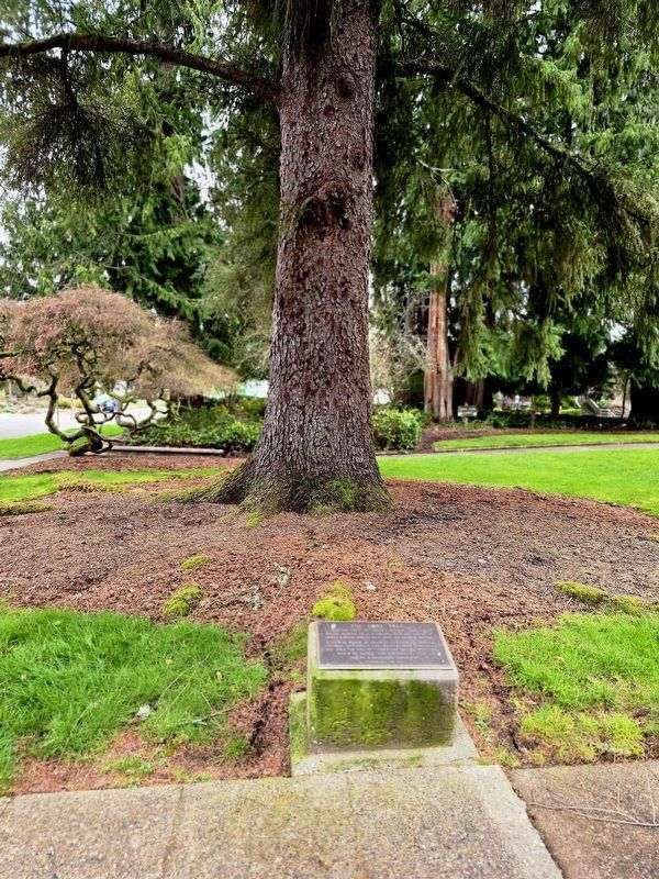
Photographed by Shirley A Stirling, March 7, 2026
2. Marker and tree
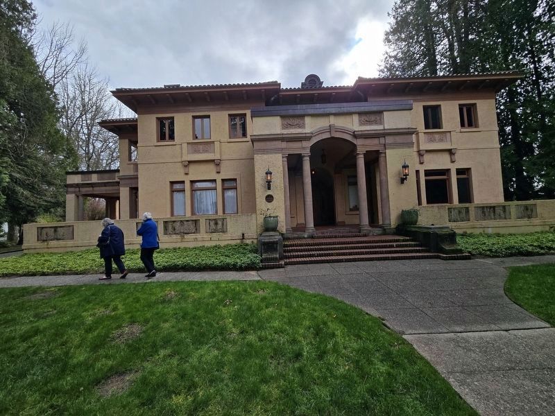
Photographed by Shirley A Stirling, March 7, 2026
3. The Lone Tree Marker
August 22, 2012
4. The Lone Tree Marker
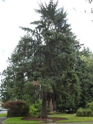
August 22, 2012
5. The Lone Tree and Marker
Credits. This page was last revised on March 8, 2026. It was originally submitted on August 23, 2012. This page has been viewed 1,214 times since then and 36 times this year. Photos: 1, 2, 3. submitted on March 7, 2026, by Shirley A Stirling of Lacey, Washington. 4, 5. submitted on August 23, 2012. • Syd Whittle was the editor who published this page.
