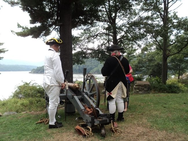
Constitution Island in Philipstown in Putnam County, New York — The American Northeast (Mid-Atlantic)
Marine Battery
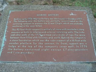
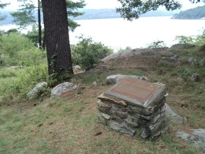
Built in early 1776, Marine Battery was destroyed in October 1777. The following year the battery was partially reconstructed on the surviving rampart to protect the Great Chain, which was probably anchored in the cove below.
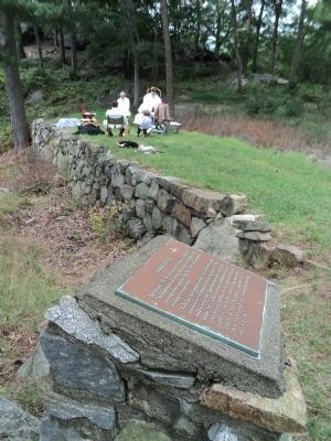
This 10 foot thick rampart is entirely of stone, with mortarless stone masonry on both its interior and exterior retaining walls. The inner and outer walls of the 1776 parapet were made of logs, the space between them filled with fascines and earth. Behind the rampart is a stone foundation which was the rear support of a 16 foot wide wooden platform for the cannon; its front support was a ledge at the top of the rampart’s inner wall. In 1776 the battery contained eight cannon (7 nine-pounders and 1 six-pounder).
Topics. This historical marker is listed in these topic lists: Forts and Castles • War, US Revolutionary. A significant historical month for this entry is October 1777.
Location. 41° 24.094′ N, 73° 57.147′ W. Marker is in Philipstown, New York, in Putnam County. It is on Constitution Island. Marker is on the west side of Constitution Island, at the U.S. Military Academy. Touch for map. Marker is in this post office area: Cold Spring NY 10516, United States of America. Touch for directions.
Other nearby markers. At least 8 other markers are within walking distance of this marker. Fort Constitution Area (within shouting distance of this marker); The Great Chain (within shouting distance of this marker); Romans’ Battery (about 300 feet away, measured in a direct line); Revolutionary War Constitution Island (about 400 feet away); Fortress West Point (about 400 feet away); a different marker also named The Great Chain (about 400 feet away); Anna B. Warner Memorial Garden (about 400 feet away); The Warner House (about 400 feet away). Touch for a list and map of all markers in Philipstown.
Also see . . . The Revolutionary War on Constitution Island. The Constitution Island Association website. (Submitted on August 25, 2012, by Bill Coughlin of Woodland Park, New Jersey.)
Credits. This page was last revised on July 20, 2023. It was originally submitted on August 25, 2012, by Bill Coughlin of Woodland Park, New Jersey. This page has been viewed 468 times since then and 29 times this year. Photos: 1, 2, 3, 4, 5, 6. submitted on August 25, 2012, by Bill Coughlin of Woodland Park, New Jersey.
