Constitution Island in Philipstown in Putnam County, New York — The American Northeast (Mid-Atlantic)
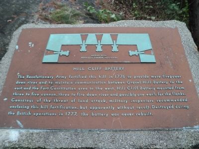
Hill Cliff Battery
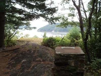
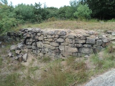
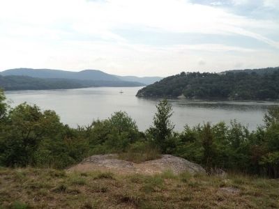
The Revolutionary Army fortified this hill in 1776 to provide more firepower down river and to maintain communication between Gravel Hill Battery to the east and the Fort Constitution area to the west. Hill Cliff Battery mounted from three to five cannon, three to fire down river and possibly one each for the flanks. Conscious of the threat of land attack, military inspectors recommended enclosing this hill fortification, but apparently without result. Destroyed during the British operations in 1777, the battery was never rebuilt.
Topics. This historical marker is listed in these topic lists: Forts and Castles • War, US Revolutionary. A significant historical year for this entry is 1776.
Location. 41° 24.107′ N, 73° 57.016′ W. Marker is in Philipstown, New York, in Putnam County. It is on Constitution Island. Marker is on Constitution Island, at the U.S. Military Academy. Touch for map. Marker is in this post office area: Cold Spring NY 10516, United States of America. Touch for directions.
Other nearby markers. At least 8 other markers are within walking distance of this marker. Anna B. Warner Memorial Garden (within shouting distance of this marker); The Warner House (about 300 feet away, measured in a direct line); Gravel Hill Battery (about 300 feet away); Revolutionary War Constitution Island (about 400 feet away); The Great Chain (about 400 feet away); Fortress West Point (about 400 feet away); a different marker also named The Great Chain (about 400 feet away); Marine Battery (about 600 feet away). Touch for a list and map of all markers in Philipstown.
More about this marker. The top of the marker contains an aerial view of possible cannon positions at Hill Cliff Battery.
Also see . . . The Revolutionary War on Constitution Island. The Constitution Island Association website. (Submitted on August 25, 2012, by Bill Coughlin of Woodland Park, New Jersey.)
Credits. This page was last revised on July 20, 2023. It was originally submitted on August 25, 2012, by Bill Coughlin of Woodland Park, New Jersey. This page has been viewed 533 times since then and 15 times this year. Photos: 1, 2, 3, 4, 5, 6. submitted on August 25, 2012, by Bill Coughlin of Woodland Park, New Jersey.
