Constitution Island in Philipstown in Putnam County, New York — The American Northeast (Mid-Atlantic)
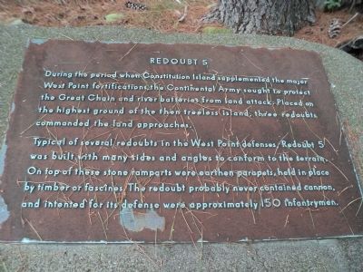
Redoubt 5
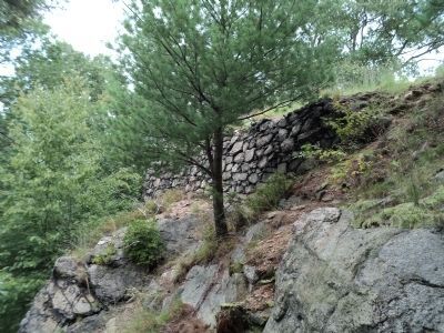
During the period when Constitution Island supplemented the major West Point fortifications, the Continental Army sought to protect the Great Chain and river batteries from land attack. Placed on the highest ground of the then treeless island, three redoubts commanded the land approaches.
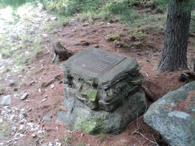
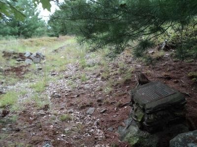
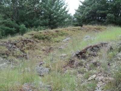
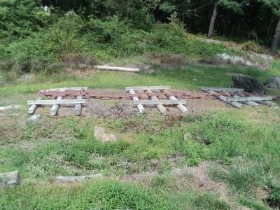
Typical of several redoubts in the West Point defenses, Redoubt 5 was built with many sides and angles to conform to the terrain. On top of these stone ramparts were earthen parapets, held in place by timber or fascines. The redoubt probably never contained cannon, and intented for its defense were approximately 150 infantrymen.
Topics. This historical marker is listed in these topic lists: Forts and Castles • War, US Revolutionary.
Location. 41° 24.219′ N, 73° 56.987′ W. Marker is in Philipstown, New York, in Putnam County. It is on Constitution Island. Marker is on Constitution Island, at the U.S. Military Academy. Touch for map. Marker is in this post office area: Cold Spring NY 10516, United States of America. Touch for directions.
Other nearby markers. At least 8 other markers are within walking distance of this marker. Redoubt 6 (about 500 feet away, measured in a direct line); Gravel Hill Battery (about 600 feet away); The Warner House (about 600 feet away); Hill Cliff Battery (about 700 feet away); Anna B. Warner Memorial Garden (approx. 0.2 miles away); The Great Chain (approx. 0.2 miles away); Revolutionary War Constitution Island (approx. 0.2 miles away); Fortress West Point (approx. 0.2 miles away). Touch for a list and map of all markers in Philipstown.
Also see . . . The Revolutionary War on Constitution Island. The Constitution Island Association website. (Submitted on August 25, 2012, by Bill Coughlin of Woodland Park, New Jersey.)
Credits. This page was last revised on July 20, 2023. It was originally submitted on August 25, 2012, by Bill Coughlin of Woodland Park, New Jersey. This page has been viewed 436 times since then and 16 times this year. Photos: 1, 2, 3, 4, 5, 6. submitted on August 25, 2012, by Bill Coughlin of Woodland Park, New Jersey.
