Maggie Valley in Haywood County, North Carolina — The American South (South Atlantic)
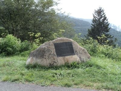
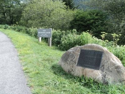
Browning Knob
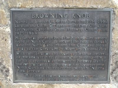
Named in honor of R. Gerry Browning, 1884 – 1966. Location and Claims Engineer and Parkway Consultant for North Carolina State Highway Commission, 1925 – 1964.
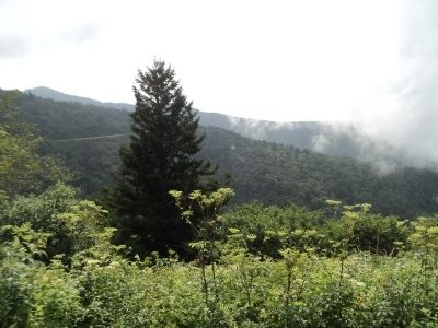
His forceful presentation of the high quality scenery found in North Carolina secured the location through Western North Carolina and Cherokee Indian lands to the Great Smoky Mountains National Park.
With consideration and courtesy for those involved, he worked untiringly to secure the rights-of-way for this spectacular mountain Parkway. During the construction of the Parkway he ably represented North Carolina in its dealings with the National Park Service.
“His love of the mountains was surpassed
only by his love of people.”
Topics and series. This historical marker is listed in this topic list: Roads & Vehicles. In addition, it is included in the Blue Ridge Parkway series list. A significant historical year for this entry is 1884.
Location. 35° 27.465′ N, 83° 8.446′ W. Marker is in Maggie Valley, North Carolina, in Haywood County. Marker is on Road to Waterrock Knob north of Blue Ridge Parkway, on the right when traveling north. The marker is just off milepost 451 of the Blue Ridge Parkway. Touch for map. Marker is in this post office area: Maggie Valley NC 28751, United States of America. Touch for directions.
Other nearby markers. At least 8 other markers are within 6 miles of this marker, measured as the crow flies. Qualla Boundary (approx. 2.8 miles away); Plott Balsam (approx. 4 miles away); Rutherford Trace (approx. 4 miles away); An Ancient and Settled Landscape (approx. 4˝ miles away); Qualla Indian Reservation (approx. 4˝ miles away); Rutherford's Expedition (approx. 4.6 miles away); Kirk's Raid (approx. 4.8 miles away); Site of First Jackson County North Carolina Courts (approx. 5.2 miles away). Touch for a list and map of all markers in Maggie Valley.
Credits. This page was last revised on September 27, 2018. It was originally submitted on August 29, 2012, by Bill Coughlin of Woodland Park, New Jersey. This page has been viewed 799 times since then and 23 times this year. Photos: 1, 2, 3, 4. submitted on August 29, 2012, by Bill Coughlin of Woodland Park, New Jersey.


