Cortez in Montezuma County, Colorado — The American Mountains (Southwest)
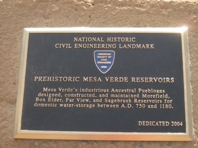
Prehistoric Mesa Verde Reservoirs
Civil Engineering Landmark
[American Society of Civil Engineering
1852 Logo]
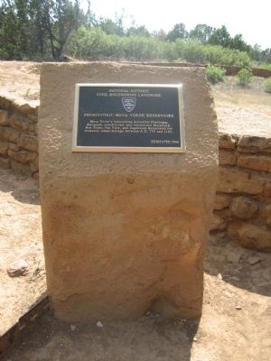
Prehistoric Mesa Verde Reservoirs
Erected 2004 by American Society of Civil Engineers.
Topics and series. This historical marker is listed in these topic lists: Native Americans • Notable Places. In addition, it is included in the ASCE Civil Engineering Landmarks series list. A significant historical year for this entry is 1852.
Location. 37° 14.433′ N, 108° 30.28′ W. Marker is in Cortez, Colorado, in Montezuma County. Marker can be reached from State Highway 10. Marker is located off the highway, alongside the Far View Sites Trail. The trail is visible from the highway, but not the marker. Touch for map. Marker is in this post office area: Cortez CO 81321, United States of America. Touch for directions.
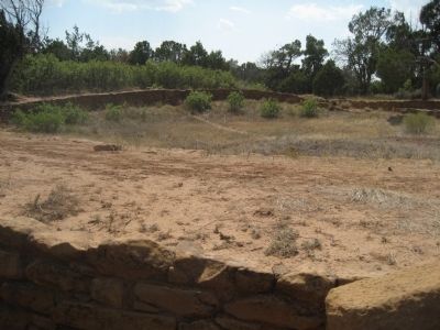
Other nearby markers. At least 8 other markers are within 6 miles of this marker, measured as the crow flies. Far View Reservoir (here, next to this marker); A Monument to Time (approx. 2.8 miles away); Natural Seep Springs (approx. 2.8 miles away); Mesa Verde Administrative District (approx. 4 miles away); Montezuma Valley (approx. 5.2 miles away); Canyon Barriers (approx. 5.2 miles away); Knife Edge... (approx. 5.2 miles away); Fire Temple (approx. 5.4 miles away).
Credits. This page was last revised on June 16, 2016. It was originally submitted on August 30, 2012, by Jennifer W. of Las Cruces, New Mexico. This page has been viewed 655 times since then and 22 times this year. Photos: 1, 2, 3. submitted on August 30, 2012, by Jennifer W. of Las Cruces, New Mexico. • Syd Whittle was the editor who published this page.
Editor’s want-list for this marker. Photo of Morefield, Box Elder and Sagebrush Reservoirs. • Can you help?


