Taos in Taos County, New Mexico — The American Mountains (Southwest)
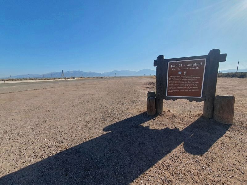
Jack M. Campbell
— Taos to Tierra Amarilla —
Inscription.
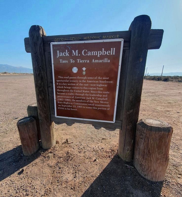
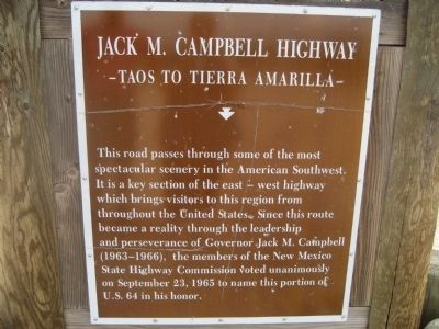
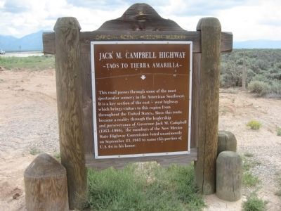
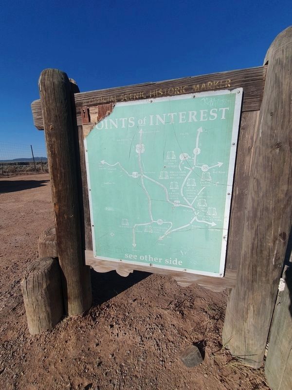
This road passes through some of the most spectacular scenery in the American Southwest. It is a key section of the east - west highway which brings visitors to this region from throughout the United States. Since this route became a reality through the perseverance of Governor Jack M. Campbell (1963-1966), the members of the New Mexico State Highway Commission voted unanimously on September 23, 1965, to name this portion of U.S. 64 in his honor.
Erected by New Mexico Historic Preservation Division.
Topics. This historical marker is listed in this topic list: Roads & Vehicles. A significant historical month for this entry is September 1911.
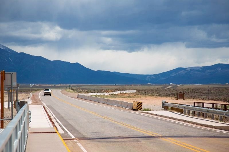
Location. 36° 28.565′ N, 105° 43.709′ W. Marker is in Taos, New Mexico, in Taos County. Marker is on U.S. 64, on the right when traveling east. The marker is in the parking area to the right hand side of the road. Touch for map. Marker is in this post office area: Taos NM 87571, United States of America. Touch for directions.
Other nearby markers. At least 8 other markers are within 10 miles of this marker, measured as the crow flies. Rio Grande Gorge Bridge (approx. 0.4 miles away); Rio Grande Gorge State Park (approx. 0.4 miles away); Lawrence Ranch (approx. 7.9 miles away); Taos (approx. 9 miles away); The Harwood Museum (approx. 9.7 miles away); Kenneth Adams (approx. 9.7 miles away); Guadalupe Plaza (approx. 9.7 miles away); Ernest Blumenschein (approx. 9.8 miles away). Touch for a list and map of all markers in Taos.
Credits. This page was last revised on October 24, 2023. It was originally submitted on August 30, 2012, by Jennifer W. of Las Cruces, New Mexico. This page has been viewed 561 times since then and 20 times this year. Photos: 1. submitted on October 24, 2023, by J. Makali Bruton of Accra, Ghana. 2, 3, 4. submitted on August 30, 2012, by Jennifer W. of Las Cruces, New Mexico. 5, 6. submitted on October 24, 2023, by J. Makali Bruton of Accra, Ghana. 7. submitted on November 21, 2019, by J. J. Prats of Powell, Ohio. 8. submitted on August 30, 2012, by Jennifer W. of Las Cruces, New Mexico. • Syd Whittle was the editor who published this page.
