Marker Logo HMdb.org THE HISTORICAL
MARKER DATABASE
“Bite-Size Bits of Local, National, and Global History”
Near Bentonville in Page County, Virginia — The American South (Mid-Atlantic)
 

Warren County / Page County


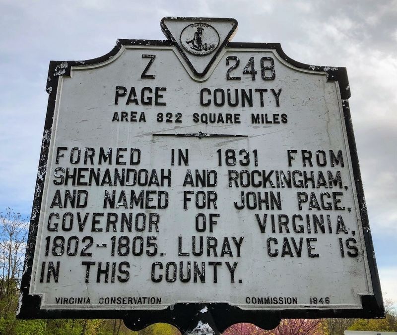
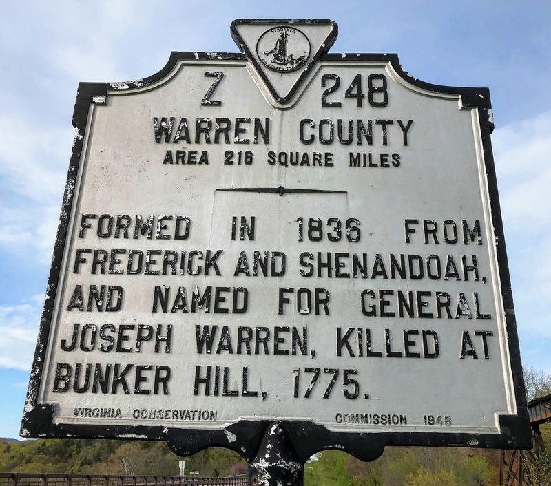
Warren County / Page County Marker image. Click for full size.
Photographed By Shane Oliver, April 19, 2020
1. Warren County / Page County Marker
Inscription.
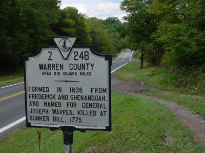
Warren County. Area 216 square miles. Formed in 1836 from Frederick and Shenandoah, and named for General Joseph Warren, killed at Bunker Hill, 1775.

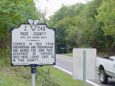
Page County. Area 322 square miles. Formed in 1831 from Shenandoah and Rockingham, and named for John Page, Governor of Virginia, 1802–1805. Luray cave is in this county.
 
Erected 1946 by Virginia Conservation Commission. (Marker Number Z-248.)
 
Topics and series. This historical marker is listed in this topic list: Political Subdivisions. In addition, it is included in the Virginia Department of Historic Resources (DHR) series list. A significant historical year for this entry is 1836.
 
Location. 38° 48.283′ N, 78° 20.988′ W. Marker is near Bentonville, Virginia, in Page County. Marker is on U.S. 340 near County Route 665, on the right when traveling north. It is just south of Overall and the County line. Touch for map. Marker is at or near this postal address: 11785 U S Hwy 340n, Rileyville VA 22650, United States of America. Touch for directions.
 
Other nearby markers. At least 5 other markers are within 4 miles of this marker, measured as the crow flies. Battle of Milford (about 400 feet away, measured in a direct line); U.S. Route 340 (about 400 feet away); The Historic Page Valley (about 400 feet away); Overall Bridge

Paid Advertisement
Click on the ad for more information.
Please report objectionable advertising to the Editor.
Click or scan to see
this page online
(about 400 feet away); Everett Cullers Overlook (approx. 4 miles away). Touch for a list and map of all markers in Bentonville.
 
Warren County / Page County Marker image. Click for full size.
Photographed By Shane Oliver, April 19, 2020
2. Warren County / Page County Marker
Marker's Warren County Face Faces Page County image. Click for full size.
Photographed By J. J. Prats, September 29, 2006
3. Marker's Warren County Face Faces Page County
Marker's Page County Face Faces Warren County image. Click for full size.
Photographed By J. J. Prats, September 29, 2006
4. Marker's Page County Face Faces Warren County
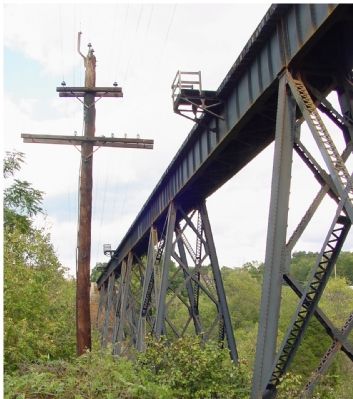
Norfolk Southern Railroad Trestle Nearby image. Click for full size.
Photographed By J. J. Prats, September 29, 2006
5. Norfolk Southern Railroad Trestle Nearby
This is the former N&W Shenandoah Valley route between Roanoke Virginia and Hagerstown Maryland.
 
 
Credits. This page was last revised on July 8, 2021. It was originally submitted on October 7, 2006, by J. J. Prats of Powell, Ohio. This page has been viewed 1,128 times since then and 21 times this year. Photos:   1, 2. submitted on May 18, 2021, by Shane Oliver of Richmond, Virginia.   3, 4, 5. submitted on October 7, 2006, by J. J. Prats of Powell, Ohio.
Share this page.  
Share on Tumblr
m=590

CeraNet Cloud Computing sponsors the Historical Marker Database.
This website earns income from purchases you make after using our links to Amazon.com. We appreciate your support.
Paid Advertisement
Apr. 24, 2024