Fort Smith in Sebastian County, Arkansas — The American South (West South Central)
Fort Wall
Fort Smith National Historic Site
— National Park Service, U.S. Department of the Interior —
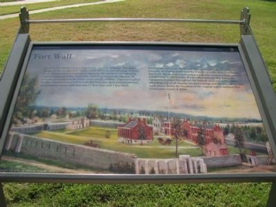
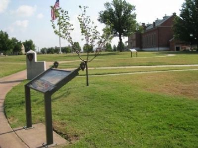
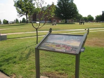
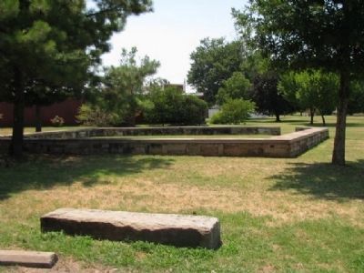
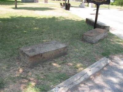
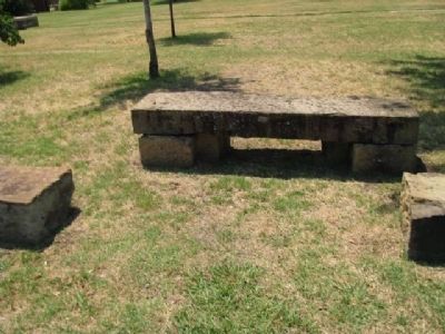
Fort Smith represents the last of a dying breed; from the 1840s on, virtually all frontier forts were built without walls. After Fort Smith was built, the cost of constructing a wall was considered too great in comparison to the benefit of a fortified defense. The fort walls remained in place throughout the federal court era (1872-1897), affording a level of security for proceedings and the executions that took place. Today the location of the original wall is outlined by continuous band of stones.
Erected by National Park Service, U.S. Department of the Interior.
Topics. This historical marker is listed in this topic list: Military.
Location. 35° 23.268′ N, 94° 25.846′ W. Marker is in Fort Smith, Arkansas, in Sebastian County. Marker is on Parker Avenue, on the left when traveling north. Touch for map. Marker is at or near this postal address: 301 Parker Avenue, Fort Smith AR 72901, United States of America. Touch for directions.
Other nearby markers. At least 8 other markers are within walking distance of this marker. Defending Freedom (within shouting distance of this marker); At the Edge of Indian Country (within shouting distance of this marker); Executions at Fort Smith (within shouting distance of this marker); The Gallows (within shouting distance of this marker); The Officer’s Quarters (within shouting distance of this marker); Belle Point (within shouting distance of this marker); Confederates Occupy The Fort (about 300 feet away, measured in a direct line); Whiskey War (about 300 feet away). Touch for a list and map of all markers in Fort Smith.
Credits. This page was last revised on June 12, 2020. It was originally submitted on September 2, 2012, by Denise Boose of Tehachapi, California. This page has been viewed 565 times since then and 17 times this year. Photos: 1, 2, 3, 4, 5, 6. submitted on September 2, 2012, by Denise Boose of Tehachapi, California. • Craig Swain was the editor who published this page.
