Fountain Valley in Orange County, California — The American West (Pacific Coastal)
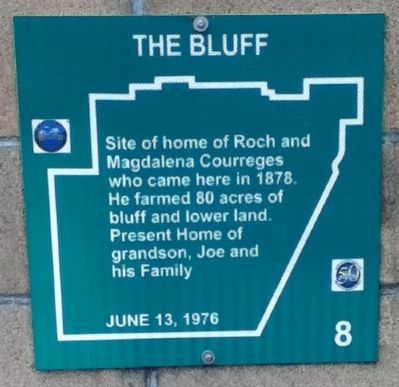
The Bluff
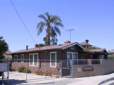
Site of home of Roch and Magdalena Courreges who came here in 1878. He farmed 80 acres of bluff and lower land. Present home of grandson, Joe and his family.
Erected 1976 by Fountain Valley Historical Society. (Marker Number 8.)
Topics. This historical marker is listed in these topic lists: Agriculture • Notable Buildings • Settlements & Settlers. A significant historical year for this entry is 1878.
Location. 33° 42.069′ N, 117° 58.739′ W. Marker is in Fountain Valley, California, in Orange County. Marker is on Talbert Avenue, on the right when traveling east. Touch for map. Marker is at or near this postal address: 8572 Talbert Avenue, Fountain Valley CA 92708, United States of America. Touch for directions.
Other nearby markers. At least 8 other markers are within walking distance of this marker. Courreges Ranch (here, next to this marker); Helm Tract (approx. half a mile away); School Bell (approx. 0.9 miles away); First City Hall / First School (approx. 0.9 miles away); Blacksmith Shops (approx. 0.9 miles away); Talbert Home (approx. 0.9 miles away); Wardlow Home / Red Car (approx. 0.9 miles away); "All Saints Anglican Church" (approx. 0.9 miles away). Touch for a list and map of all markers in Fountain Valley.
Credits. This page was last revised on January 5, 2024. It was originally submitted on September 3, 2012, by Greg Ullman of Fountain Valley, California. This page has been viewed 784 times since then and 37 times this year. Photos: 1. submitted on September 3, 2012, by Greg Ullman of Fountain Valley, California. 2. submitted on November 29, 2011, by Michael Kindig of Elk Grove, California. • Syd Whittle was the editor who published this page.

