Heathwood in Columbia in Richland County, South Carolina — The American South (South Atlantic)
Redfern Field / Paul R. Redfern
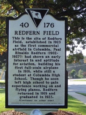
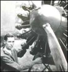
This is the site of Redfern Field, established in 1923 as the first commercial airfield in Columbia. Paul Rinaldo Redfern (1902 ~ 1927?) had shown an early interest in and aptitude for aviation, building his first full-scale airplane in 1916, while still a student at Columbia High School. Though he soon left high school to gain experience working on and flying planes, Redfern returned in 1919 and graduated in 1923.
Reverse
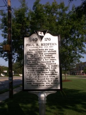
Redfern built his own plane, opened his airfield here, and flew passengers all over S.C. before barnstorming across the Southeast for a few years. In 1927 businessmen in Brunswick, Ga., financed Redfern's attempt to make the first solo flight from North America to South America. On August 25, he took off in the monoplane Port of Brunswick from that city, bound for Rio de Janeiro. Redfern, last seen over Venezuela, was never heard from again.
Erected 2012 by The Paul Rinaldo Redfern Aviation Society. (Marker Number 40 - 176.)
Topics. This historical marker is listed in this topic list: Air & Space. A significant historical year for this entry is 1923.
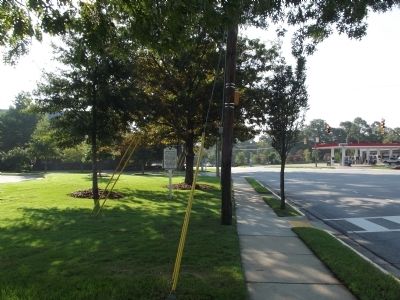
Location. 33° 59.871′ N, 80° 59.583′ W. Marker is in Columbia, South Carolina, in Richland County. It is in Heathwood. Marker is on Millwood Avenue, on the right when traveling west. The marker is in front of Dreher High School. Touch for map. Marker is at or near this postal address: 3319 Millwood Avenue, Columbia SC 29205, United States of America. Touch for directions.
Other nearby markers. At least 8 other markers are within 2 miles of this marker, measured as the crow flies. Paul R. Redfern (about 300 feet away, measured in a direct line); Early Columbia Racetrack (approx. 0.3 miles away); Shandon (approx. 0.6 miles away); Shandon Presbyterian Church (approx. ¾ mile away); Tree of Life Synagogue (approx. 0.9 miles away); Camp Jackson (approx. 1.3 miles away); Diamond Hill (approx. 1.3 miles away); Waverly Five and Dime / George Elmore and Elmore v. Rice (approx. 1.4 miles away). Touch for a list and map of all markers in Columbia.
Also see . . . Paul Rinaldo Redfern,. South Carolina Encyclopedia website entry (Submitted on August 14, 2023, by Larry Gertner of New York, New York.)
Credits. This page was last revised on August 14, 2023. It was originally submitted on September 1, 2012, by Anna Inbody of Columbia, South Carolina. This page has been viewed 642 times since then and 25 times this year. Last updated on September 3, 2012, by Anna Inbody of Columbia, South Carolina. Photos: 1, 2, 3, 4. submitted on September 1, 2012, by Anna Inbody of Columbia, South Carolina. • Bill Pfingsten was the editor who published this page.


