Hull in Plymouth County, Massachusetts — The American Northeast (New England)
The "Dark Arch"
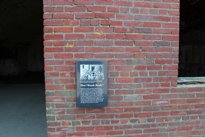
Photographed by Bryan Simmons, August 2012
1. The "Dark Arch" Marker
Topics. This historical marker is listed in these topic lists: Forts and Castles • War, World II.
Location. 42° 19.189′ N, 70° 55.592′ W. Marker is in Hull, Massachusetts, in Plymouth County. It can be reached from no nearby street. The Marker is located inside Fort Warren on Georges Island at the Eastern entrance. Touch for map. Marker is in this post office area: Hull MA 02045, United States of America. Touch for directions.

Regionally, this marker is on the South Shore. It is also in the American Northeast,
this page online
Other nearby markers. At least 8 other markers are within walking distance of this marker: The Mess (within shouting distance of this marker); Battery Bartlett (within shouting distance of this marker); Bastion C (within shouting distance of this marker); Enlisted Men (within shouting distance of this marker); Political Prisoners (within shouting distance of this marker); Parade Ground (about 300 feet away, measured in a direct line); Bakery (about 300 feet away); Powder Magazine (about 300 feet away). Touch for a list and map of all markers in Hull.
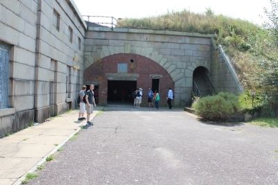
Photographed by Bryan Simmons, August 2012
2. The "Dark Arch" Marker
Credits. This page was last revised on June 16, 2016. It was originally submitted on September 6, 2012, by Bryan Simmons of Attleboro, Massachusetts. This page has been viewed 813 times since then and 24 times this year. Photos: 1, 2. submitted on September 6, 2012, by Bryan Simmons of Attleboro, Massachusetts. • Bill Pfingsten was the editor who published this page.
