Kingston in Ulster County, New York — The American Northeast (Mid-Atlantic)
Rondout
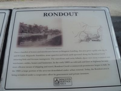
Once a handful of homes and storehouses known as Kingston Landing, this area grew rapidly with the D and H Canal. Shipyards, foundries, stone quarries and brick yards sprouted along the Rondout Creek attracting Irish and German immigrants. The waterfront and rocky hillside above were soon crammed with warehouses, stables, homes and businesses. In the early 1900’s as railroads and later as highways became more efficient means of shipping and travel, Rondout Creek’s commercial prominence began to fade. In the 1960’s a large portion of the area was demolished under urban renewal. Today, the Rondout area is being revitalized under a cooperative effort by government and private investors.
Erected by Kingston Urban Cultural Park.
Topics. This historical marker is listed in this topic list: Settlements & Settlers.
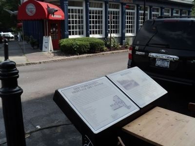
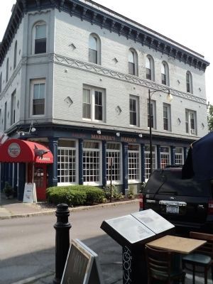
Location. 41° 55.107′ N, 73° 58.986′ W. Marker is in Kingston, New York, in Ulster County. Marker is at the intersection of Broadway and W Strand Street, on the right when traveling south on Broadway. Marker is located near the Kingston water-front. Touch for map. Marker is in this post office area: Kingston NY 12401, United States of America. Touch for directions.
Other nearby markers. At least 8 other markers are within walking distance of this marker. New York State’s Heritage Area System (here, next to this marker); Chambers Pear Tree (within shouting distance of this marker); Sampson Opera House (within shouting distance of this marker); Island Dock (within shouting distance of this marker); 20th New York State Militia (within shouting distance of this marker); The Rondout Creek Suspension Bridge (within shouting distance of this marker); The Delaware and Hudson Canal (within shouting distance of this marker); Navy Seabees (within shouting distance of this marker). Touch for a list and map of all markers in Kingston.
More about this marker. The upper left of the marker is a photo of the Kingston waterfront from the John F. Mathews Collection. Next to this is a map of the Kingston Urban Cultural Park showing the location of the marker.
Credits. This page was last revised on June 16, 2016. It was originally submitted on September 7, 2012, by Bill Coughlin of Woodland Park, New Jersey. This page has been viewed 494 times since then and 17 times this year. Photos: 1, 2, 3. submitted on September 7, 2012, by Bill Coughlin of Woodland Park, New Jersey.


