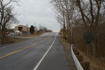
Near Clear Spring in Washington County, Maryland — The American Northeast (Mid-Atlantic)
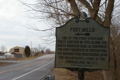
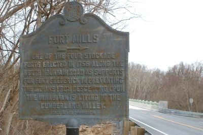
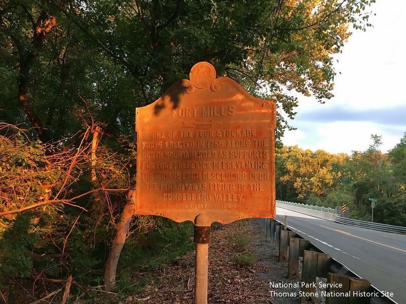
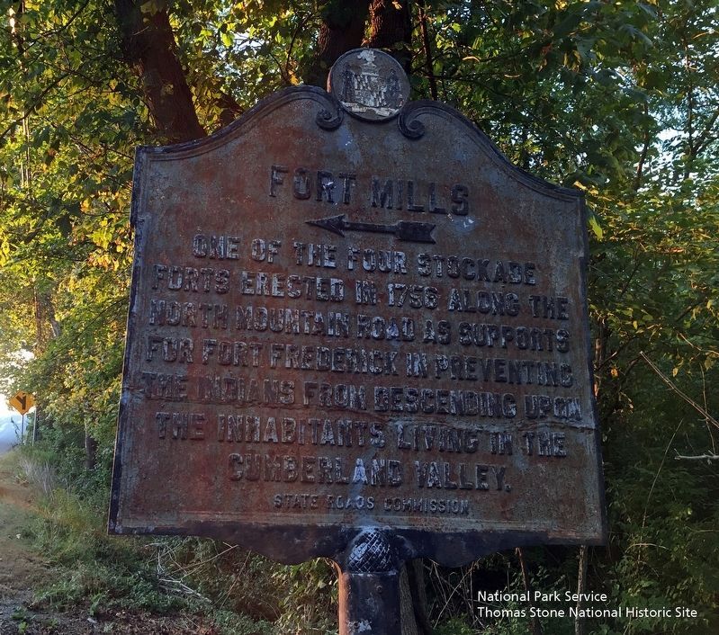
Fort Mills
←
Erected by State Roads Commission.
Topics. This historical marker is listed in these topic lists: Forts and Castles • Settlements & Settlers. A significant historical year for this entry is 1756.
Location. 39° 39.224′ N, 78° 2.747′ W. Marker is near Clear Spring, Maryland, in Washington County. Marker is on Historic National Road (U.S. 40), on the right when traveling west. Touch for map. Marker is in this post office area: Clear Spring MD 21722, United States of America. Touch for directions.
Other nearby markers. At least 8 other markers are within 4 miles of this marker, measured as the crow flies. Three Eras of Transportation Side by Side (approx. 0.2 miles away); Ernstville Road Bridge (approx. 2.2 miles away); Fort Frederick (approx. 2.3 miles away); Veterans Memorial (approx. 2.4 miles away); The National Road (approx. 2˝ miles away); Big Pool Junction (approx. 2˝ miles away); Millstone & Moffet Station (approx. 2.8 miles away); Gen. J. E. B. Stuart’s (approx. 3.4 miles away).
More about this marker. The lack of paint on one side of this marker, and of only black paint on the other is curious, especially given the proximity to a road maintenance facility.
Credits. This page was last revised on October 15, 2019. It was originally submitted on March 2, 2008, by Christopher Busta-Peck of Shaker Heights, Ohio. This page has been viewed 1,158 times since then and 45 times this year. Photos: 1, 2. submitted on March 2, 2008, by Christopher Busta-Peck of Shaker Heights, Ohio. 3, 4. submitted on October 12, 2019. 5. submitted on March 3, 2008, by Christopher Busta-Peck of Shaker Heights, Ohio.
