Millville in Jefferson County, West Virginia — The American South (Appalachia)
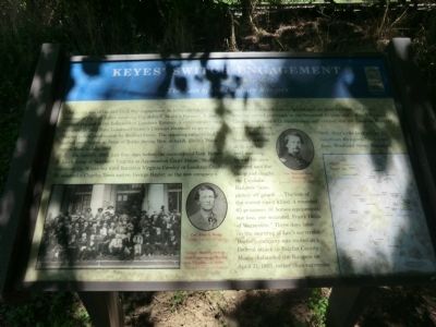
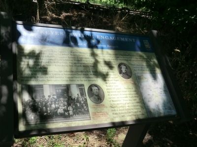
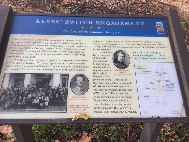
Keyes' Switch Engagement
The Last of the Loudoun Rangers
On April 5, 1865, just four days before the surrender of Gen. Robert E. Lee’s Army of Northern Virginia at Appomattox Court House, Mosby mustered Co. H into his 43rd Battalion Virginia Cavalry in Loudoun County. He selected a Charles Town native, George Baylor, as the new company’s captain and ordered him to “go out and see what he could do.” Baylor, who had served previously in the Stonewall Brigade and the 12th Virginia Cavalry, rode west with his company and learned that the Loudoun Rangers were camped here.
According to Baylor’s account, at 10 A.M. the next morning he and his men charged into the camp and caught the Loudoun Rangers “completely off guard…The loss of the enemy was 2 killed, 4 wounded, 65 prisoners, 81 horses equipments; our loss, one wounded, Frank Helm of Warrenton.” Three days later on the morning of Lee’s surrender, Baylor’s company was routed in a Federal attack in Fairfax County. Mosby disbanded the Rangers on April 21, 1865, rather than surrender.
Erected by West Virginia Civil War Trails.
Topics and series. This historical marker is listed in this topic list: War, US Civil. In addition, it is included in the West Virginia Civil War Trails series list. A significant historical month for this entry is April 1861.
Location. 39° 17.658′ N, 77° 47.052′ W. Marker is in Millville, West Virginia, in Jefferson County. Marker is on Millville Road, on the right when traveling south. The marker is close to the Railroad tracks. Touch for map. Marker is at or near this postal address: 411 Millville Road, Millville WV 25432, United States of America. Touch for directions.
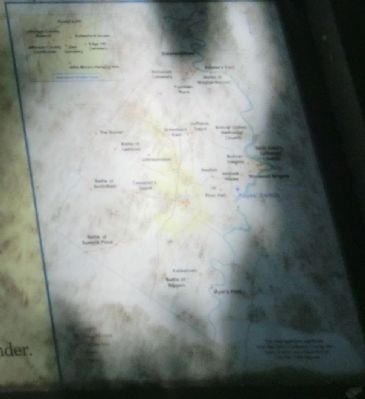
Other nearby markers. At least 8 other markers are within 2 miles of this marker, measured as the crow flies. Setting the Trap (approx. 0.8 miles away); Setting the Trap / Jackson Arrives (approx. one mile away); Battle of Harpers Ferry / Jackson Arrives (approx. one mile away); Sheridan Dug In (approx. 1.4 miles away); Mountains, Men, and Maneuvers (approx. 1½ miles away); The Murphy Farm (approx. 1½ miles away); Battle of Harpers Ferry (approx. 1½ miles away); Flag Talk (approx. 1½ miles away). Touch for a list and map of all markers in Millville.
Credits. This page was last revised on May 17, 2017. It was originally submitted on September 12, 2012, by Don Morfe of Baltimore, Maryland. This page has been viewed 1,281 times since then and 56 times this year. Photos: 1, 2, 3, 4. submitted on September 12, 2012, by Don Morfe of Baltimore, Maryland. 5. submitted on May 13, 2017, by William Glahn of Winchester, Virginia. • Craig Swain was the editor who published this page.
