Hurricane in Washington County, Utah — The American Mountains (Southwest)
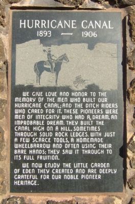
Hurricane Canal
1893 - 1906
We now enjoy the little Garden of Eden they created and are deeply grateful for our noble pioneer heritage.
Topics. This historical marker is listed in these topic lists: Bridges & Viaducts • Settlements & Settlers • Waterways & Vessels.
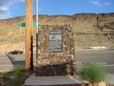
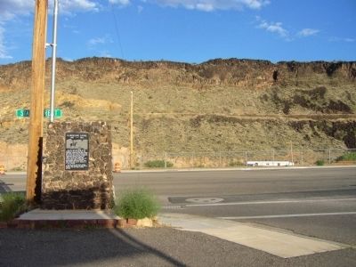
Location. 37° 11.295′ N, 113° 16.746′ W. Marker is in Hurricane, Utah, in Washington County. Marker is at the intersection of North State Street and East 800 North, on the left when traveling north on North State Street. Marker is on the northwest corner. Touch for map. Marker is in this post office area: Hurricane UT 84737, United States of America. Touch for directions.
Other nearby markers. At least 8 other markers are within walking distance of this marker. The Historic Hurricane Canal (approx. 0.4 miles away); The Historic Dixie-Long Valley, Utah Pioneer Trail (approx. 0.4 miles away); Hurricane/LaVerkin Bridge (approx. 0.4 miles away); Look-out Point (approx. 0.6 miles away); Convict Camp and Wagon Road (approx. 0.6 miles away); Pioneer Bowery (approx. 0.6 miles away); a different marker also named The Historic Hurricane Canal (approx. 0.6 miles away); Birth of Hurricane (approx. 0.6 miles away). Touch for a list and map of all markers in Hurricane.
Credits. This page was last revised on June 16, 2016. It was originally submitted on September 12, 2012, by Bill Kirchner of Tucson, Arizona. This page has been viewed 459 times since then and 14 times this year. Photos: 1, 2, 3. submitted on September 12, 2012, by Bill Kirchner of Tucson, Arizona. • Bill Pfingsten was the editor who published this page.


