Riverdale in Clayton County, Georgia — The American South (South Atlantic)
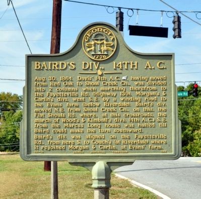
Bairdís Div., 14th A.C.
Bairdís div. was aligned on the Fayetteville Rd., from here S. to Couchís (at Riverdale) where it rejoined Morgan & Carlin, at Evansí farm.
Erected 1958 by Georgia Historical Commission. (Marker Number 031-30.)
Topics and series. This historical marker is listed in this topic list: War, US Civil. In addition, it is included in the Georgia Historical Society series list. A significant historical date for this entry is August 30, 1864.
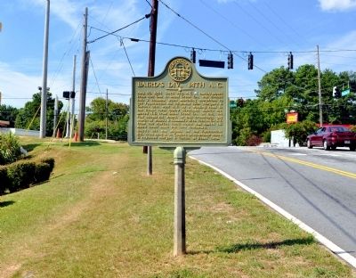
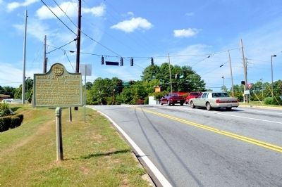
Location. 33° 36.1′ N, 84° 25.75′ W. Marker is in Riverdale, Georgia, in Clayton County. Marker is at the intersection of Flat Shoals Road and Riverdale Road (Georgia Route 139), on the right when traveling east on Flat Shoals Road. Touch for map. Marker is in this post office area: Riverdale GA 30296, United States of America. Touch for directions.
Other nearby markers. At least 8 other markers are within 4 miles of this marker, measured as the crow flies. Site: The Mann House (within shouting distance of this marker); Site: Marcus Long House (about 500 feet away, measured in a direct line); Site: Shoal Cr. Church (approx. 1.3 miles away); 14th A.C. at Shoal Creek Church (approx. 1.3 miles away); The Extended Line (approx. 1Ĺ miles away); Hart Cemetery (approx. 1.7 miles away); Site of Couch House (approx. 1.7 miles away); Bethsaida Baptist Church and Cemetery (approx. 3.4 miles away). Touch for a list and map of all markers in Riverdale.
Credits. This page was last revised on June 16, 2016. It was originally submitted on September 12, 2012, by David Seibert of Sandy Springs, Georgia. This page has been viewed 479 times since then and 15 times this year. Photos: 1, 2, 3. submitted on September 12, 2012, by David Seibert of Sandy Springs, Georgia. • Craig Swain was the editor who published this page.


