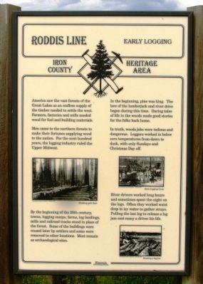
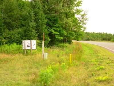
Near Mercer in Iron County, Wisconsin — The American Midwest (Great Lakes)
Roddis Line – Early Logging
Iron County Heritage Area
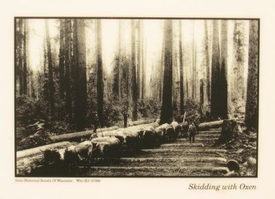
Men came to the northern forests to make their fortunes supplying wood to the nation. For the next hundred years, the logging industry ruled the Upper Midwest.
By the beginning of the 20th century, towns, logging camps, farms, log landings, mills, and railroad tracks stood in place of the forest. Some of the buildings were reused later by settlers and some were removed to other locations. Most remain as archaeological sites.
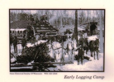
In the beginning, pine was king. The lore of the lumberjack and river drive began during this time. Daring tales of life in the woods made good stories for the folks back home.
In truth, woods jobs were tedious and dangerous. Loggers worked in below zero temperatures from dawn to dusk, with only Sundays and Christmas Day off.
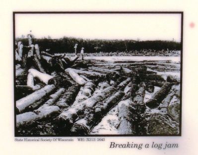
River drivers worked long hours and sometimes spent the night on the logs. Often they worked waist deep in icy water to gather strays. Pulling the last log to release a log jam cost many a driver his life.
Topics. This historical marker is listed in these topic lists: Industry & Commerce • Railroads & Streetcars.
Location. 46° 4.914′ N, 90° 16.263′ W. Marker is near Mercer, Wisconsin, in Iron County. Marker is on County Route FF, half a mile north of Turtle Flambeau Dam Road, on the right when traveling north. Touch for map. Marker is in this post office area: Butternut WI 54514, United States of America. Touch for directions.
Other nearby markers. At least 8 other markers are within 7 miles of this marker, measured as the crow flies. Roddis Line - Roddis Lumber and Veneer Company (here, next to this marker); Roddis Line – Life in Camp (here, next to this marker); Roddis Line – Nelson Camp 1 (1925-1930) (here, next to this marker); a different marker also named Roddis Line – Nelson Camp 1 (1925-1930) (here, next to this marker); a different marker also named Roddis Line - Roddis Lumber and Veneer Company (here, next to this marker); Flambeau Trail – Turtle Flambeau Flowage Dam (approx. 1.7 miles away); Roddis Line – Turtle-Flambeau Dam (approx. 1.8 miles away); Flambeau Trail – Two Ways to Go (approx. 7.1 miles away). Touch for a list and map of all markers in Mercer.
Credits. This page was last revised on June 16, 2016. It was originally submitted on September 14, 2012, by Paul Fehrenbach of Germantown, Wisconsin. This page has been viewed 503 times since then and 24 times this year. Photos: 1, 2, 3, 4, 5. submitted on September 14, 2012, by Paul Fehrenbach of Germantown, Wisconsin. • Bernard Fisher was the editor who published this page.
