Vicksburg in Warren County, Mississippi — The American South (East South Central)
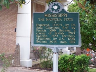
Mississippi
The Magnolia State
Soto. Colonized first by
French, 1699. Became a
colony of British, 1763;
Spanish, 1779. Territory
organized by U.S., 1798.
Became 20th. state, 1817.
Erected 1952 by Mississippi Historical Commission.
Topics and series. This historical marker is listed in these topic lists: Exploration • Government & Politics • Settlements & Settlers. In addition, it is included in the Mississippi State Historical Marker Program series list. A significant historical year for this entry is 1699.
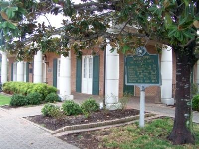
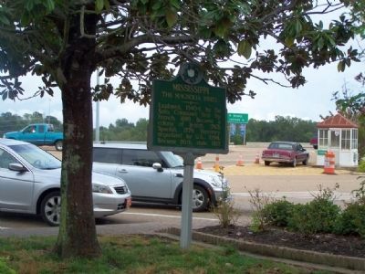
Location. 32° 18.705′ N, 90° 54.022′ W. Marker is in Vicksburg, Mississippi, in Warren County. Marker is on South Washington Street / I-20 Frontage Road (U.S. 61), on the left when traveling north. Located at the Welcome Center. Touch for map. Marker is at or near this postal address: 4210 South Washington Street, Vicksburg MS 39183, United States of America. Touch for directions.
Other nearby markers. At least 8 other markers are within walking distance of this marker. Vicksburg Siege (here, next to this marker); U.S. Battery Benton. (about 300 feet away, measured in a direct line); Gibraltar of the Confederacy (about 400 feet away); Iowa (approx. 0.3 miles away); C.S. Company G, (approx. 0.3 miles away); C.S. Company A, (approx. 0.3 miles away); C.S. Company C, (approx. 0.3 miles away); C.S. Company I, (approx. 0.3 miles away). Touch for a list and map of all markers in Vicksburg.
Also see . . . Netstate, The State of Mississippi. Mississippi means "large river" to the Chippewa Indians. (Submitted on September 19, 2012, by Mike Stroud of Bluffton, South Carolina.)
Credits. This page was last revised on June 16, 2016. It was originally submitted on September 19, 2012, by Mike Stroud of Bluffton, South Carolina. This page has been viewed 576 times since then and 31 times this year. Photos: 1, 2, 3. submitted on September 19, 2012, by Mike Stroud of Bluffton, South Carolina.


