Paragonah in Iron County, Utah — The American Mountains (Southwest)
Paragonah Town Square
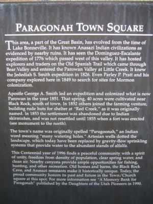
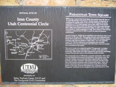
Apostle George A Smith led an expedition and colonized what is now Parowan in the year 1851. That spring, 40 acres were cultivated near Black Rock, south of town. In 1852 others joined the farming venture, building rude huts for shelter at "Red Creek," as it was originally named. In 1853 the settlement was abandoned due to Indian skirmishes, and was not resettled until 1855 when a fort was erected (see monument to the north).
The town's name was originally spelled "Paragoonah," an Indian word meaning "many watering holes." Artesian wells dotted the landscape, which today have been replaced by gravity-flow sprinkling systems that provide water to the abundant stands of alfalfa.
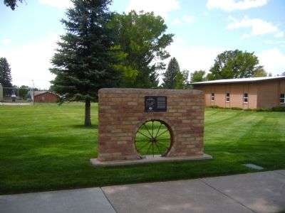
This Centennial year of 1996 finds a peaceful community with a spirit of unity, freedom from density of population, clear spring water, and clean air. Nearby canyons provide ample opportunities for fishing, hunting, and other recreation. Old homes and barns, the Black Rock Cave, and Anasazi remnants make it historically unique. Today, the proud community honors its past and future in the Town/Church square at this spot. For more information see "A Memory Bank for Paragonah" published by the Daughters of the Utah Pioneers in 1990.
Erected 1996 by Betsy Topham Camp, D.U.P. and The Paragonah Civic Committee.
Topics and series. This historical marker is listed in these topic lists: Exploration • Native Americans • Settlements & Settlers. In addition, it is included in the Old Spanish National Trail series list. A significant historical year for this entry is 1776.
Location. 37° 53.187′ N, 112° 46.517′ W. Marker is in Paragonah, Utah, in Iron County. Marker is at the intersection of Main Street and Center Street, on the right when traveling south on Main Street. Marker is on the northwest corner. Touch for map. Marker is in this post office area: Paragonah UT 84760, United States of America. Touch for directions.
Other nearby markers. At least 8 other markers are within 5 miles of this marker, measured as the crow flies. The Tithing Lot and Relief Society Hall (within shouting distance of this marker); Paragonah Fort (within shouting distance of this marker); Alma W. Richards (approx. 4 miles away); An Original Hitching Ring (approx. 4.2 miles away); Pioneer Rock Church (approx. 4.3 miles away); Public Works (approx. 4.3 miles away); D.U.P. Relic Hall (approx. 4.3 miles away); First School House and Council House in Iron County (approx. 4.3 miles away). Touch for a list and map of all markers in Paragonah.
Related marker. Click here for another marker that is related to this marker.
Credits. This page was last revised on June 16, 2016. It was originally submitted on September 19, 2012, by Bill Kirchner of Tucson, Arizona. This page has been viewed 670 times since then and 32 times this year. Photos: 1, 2, 3. submitted on September 19, 2012, by Bill Kirchner of Tucson, Arizona. • Bill Pfingsten was the editor who published this page.


