San Miguel in San Luis Obispo County, California — The American West (Pacific Coastal)
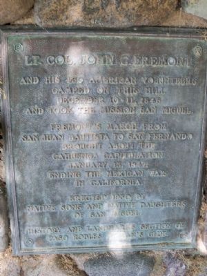
Lt. Col. John C. Fremont
Fremont's march from San Juan Bautista to San Fernando brought about the Cahuenga Capitulation January 13, 1847, ending the Mexican War in California.
Erected 1930 by Native Sons/Native Daughters of the Golden West & Paso Robles Women's Club.
Topics and series. This historical marker is listed in these topic lists: Military • War, Mexican-American. In addition, it is included in the Native Sons/Daughters of the Golden West series list. A significant historical date for this entry is January 13, 1911.
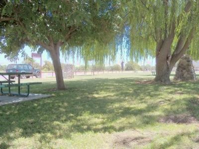
Location. 35° 44.733′ N, 120° 41.817′ W. Marker is in San Miguel, California, in San Luis Obispo County. Marker is on Mission Street. This marker is in Fr. Reginald Memorial Park, on Mission Street between San Luis Obispo Road and 9th Street. Just across San Luis Obispo Road from Mission San Miguel Arcangel. Touch for map. Marker is in this post office area: San Miguel CA 93451, United States of America. Touch for directions.
Other nearby markers. At least 8 other markers are within walking distance of this marker. Mission Cemetery (within shouting distance of this marker); Mission Fields (about 400 feet away, measured in a direct line); Cross of El Camino Real (about 400 feet away); Mission San Miguel Arcangel (approx. 0.2 miles away); Fr. Fidelis Wieland, O.F.M (approx. ¼ mile away); Elkhorn Saloon (approx. 0.4 miles away); Original Site Of San Miguel School (approx. 0.4 miles away); San Miguel Cemetery District (approx. half a mile away). Touch for a list and map of all markers in San Miguel.
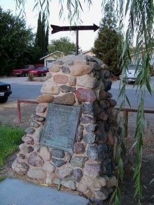
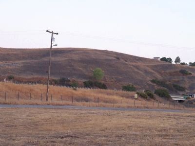
More about this marker. The arrow on top of the monument points to the hillside in question but trees in the neighborhood now obscure the view from this location in all but the leafless winter months.
Photographed By James King, July 10, 2011
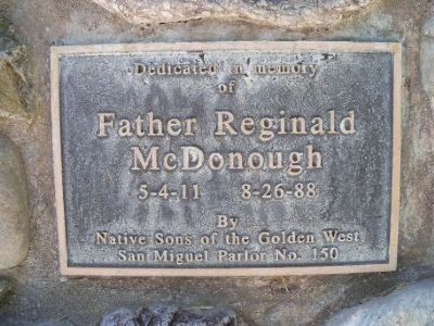
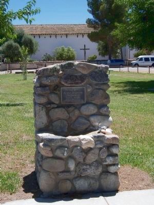
5. Fr. Reginald Park Dedication Monument
This monument is about 40 feet from the Fremont monument. Father Reginald Park was built and is maintained by the Native Sons of the Golden West, San Miguel Parlor #150 for the benefit of the community. Additional sponsorship for the tables was by the Native Daughters of the Golden West, San Miguel Parlor #94, the San Miguel Lions Club and the San Miguel Seniors.
Credits. This page was last revised on June 16, 2016. It was originally submitted on October 3, 2012, by James King of San Miguel, California. This page has been viewed 810 times since then and 20 times this year. Photos: 1, 2, 3, 4, 5, 6. submitted on October 3, 2012, by James King of San Miguel, California. • Syd Whittle was the editor who published this page.
