Downers Grove in DuPage County, Illinois — The American Midwest (Great Lakes)
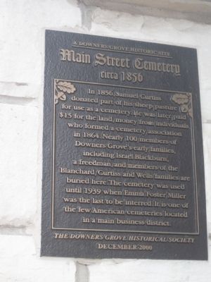
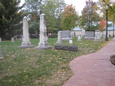
Main Street Cemetery
A Downers Grove Historic Site
— circa 1856 —
Erected 2000 by The Downers Grove Historical Society.
Topics. This historical marker is listed in this topic list: Cemeteries & Burial Sites. A significant historical year for this entry is 1856.
Location. 41° 47.575′ N, 88° 0.621′ W. Marker is in Downers Grove, Illinois, in DuPage County. Marker is on Main Street, 0.1 miles south of Curtiss Street, on the right when traveling south. Touch for map. Marker is in this post office area: Downers Grove IL 60515, United States of America. Touch for directions.
Other nearby markers. At least 8 other markers are within 5 miles of this marker, measured as the crow flies. A different marker also named Main Street Cemetery (within shouting distance of this marker); Farmer's and Merchant's Bank Building (about 400 feet away, measured in a direct line); Masonic Temple (about 800 feet away); The Indian Boundary Line (approx. ¼ mile away); The Gatehouse at Mayslake (approx. 3.6 miles away); a different marker also named The Indian Boundary Line (approx. 3.7 miles away); Original Butler School Merry-Go-Round (approx. 4.3 miles away); Ben Fuller House (approx. 4.7 miles away). Touch for a list and map of all markers in Downers Grove.
Credits. This page was last revised on June 16, 2016. It was originally submitted on October 5, 2012. This page has been viewed 611 times since then and 13 times this year. Photos: 1, 2. submitted on October 5, 2012. • Bill Pfingsten was the editor who published this page.

