Ballajá in San Juan in Municipio de San Juan, Puerto Rico — The Caribbean (The West Indies)
A Defense of the 1st Order
Una Defensa del 1er Orden
| — | San Juan National Historic Site | — |
Photographed by Bradley Owen, March 18, 2026
1. A Defense of the 1st Order Marker
(English):
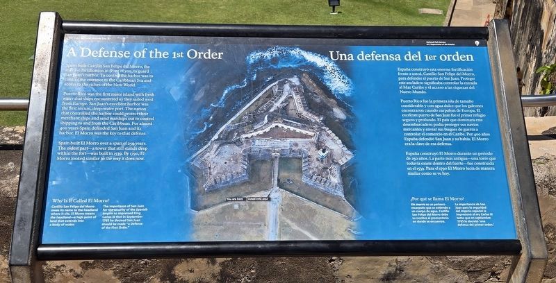
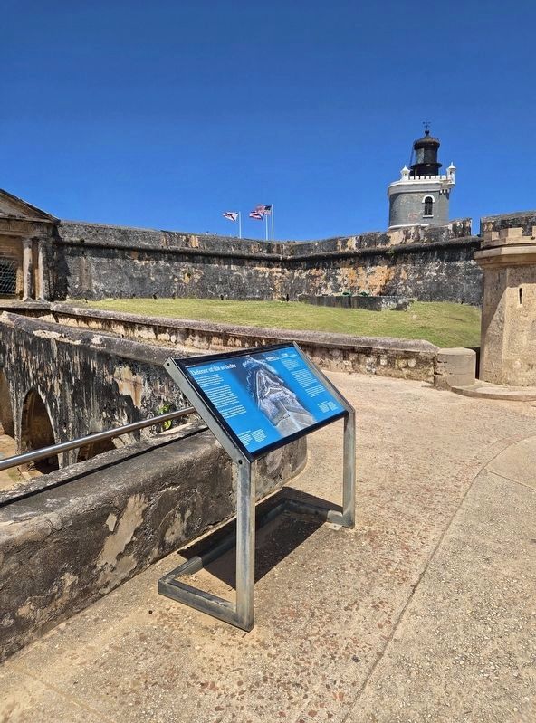
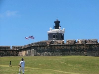
Spain built Castillo San Felipe del Morro, the massive fortification in front of you to guard San Juan harbor. To control the harbor was to control the entrance to the Caribbean Sea and access to the riches of the New World.
Puerto Rico was the first major island with fresh water that ships encountered as they sailed west from Europe. San Juan’s excellent harbor was the first secure, deep-water port. The nation that controlled the harbor could protect their merchant ships and send warships out to control shipping to and from the Caribbean. For almost 400 years Spain defended San Juan and its harbor. El Morro was the key to that defense.
Spain built El Morro over a span of 250 years. The oldest part - a tower that still stands deep within the fort - was built in 1539. By 1790, El Morro looked similar to the way it does now.
Why Is It Called El Morro?
Castillo San Felipe del Morro owes its name to the headland where it sits. El Morro means the headland — a high point of land that extends into a body of water.
The importance of San Juan for the security of the Spanish empire so impressed King Carlos III
this page online
(Spanish):
España construyó esta enorme fortificación frente a usted, Castillo San Felipe del Morro, para defender el puerto de San Juan. Proteger este ancladero significaba controlar la entrada al Mar Caribe y el acceso a las riquezas del Nuevo Mundo.
Puerto Rico fue la primera isla de tamaño considerable y con agua dulce que los galeones encontraron cuando zarpaban de Europa. El excelente puerto de San Juan fue el primer refugio seguro y profundo. El país que dominara este desembarcadero podía proteger sus navíos mercantes y enviar sus buques de guerra controlar el comercio en el Caribe. Por 400 años España defendió San Juan y su bahía. El Morro era la clave de esa defensa.
España construyó El Morro durante un período de 250 años. La parte más antigua-una torre que todavía existe dentro del fuerte-fue construida en el 1539. Para el 1790 El Morro lucía de manera similar como se ve hoy.
¿Por qué se llama El Morro?
Un morro es un peñasco escarpado que se extiende a un cuerpo de agua. Castillo San Felipe del Morro debe su nombre al
Photographed by Bradley Owen, March 18, 2026
2. A Defense of the 1st Order Marker
La importancia de San Juan para la seguridad del imperio español le impresionó al rey Carlos III tanto que en septiembre 1765 lo decretó 'una defensa del primer orden."
Erected by National Park Service, U.S. Department of the Interior.
Topics. This historical marker is listed in this topic list: Forts and Castles. A significant historical month for this entry is September 1765.
Location. 18° 28.224′ N, 66° 7.416′ W. Marker is in San Juan in Municipio de San Juan, Puerto Rico. It is in Ballajá. It is on Calle del Morro north of Calle Norzagaray, on the left when traveling north. Marker is located on the grounds of Castillo San Felipe del Morro. Touch for map. Marker is at or near this postal address: 501 Calle Norzagaray, San Juan PR 00901, United States of America. Touch for directions.

Regionally, it is one of the Greater Antilles on the Caribbean Sea, on in the Atlantic Ocean, in North America, in the Western Hemisphere, in the Western World, and in the Anglosphere. Historically, it finds itself in what was once a Spanish colony.
Other nearby markers. At least 8 other markers are within walking
Photographed by Don Morfe, April 21, 2012
3. A Defense of the 1st Order Marker
Another marker is no longer nearby. Defending San Juan / Defensa de San Juan (was approx. 0.4 kilometers away but has been permanently removed).
Photographed by Don Morfe, April 21, 2012
4. A Defense of the 1st Order Marker
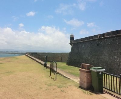
Photographed by Don Morfe, April 21, 2012
5. A Defense of the 1st Order Marker
Credits. This page was last revised on March 28, 2026. It was originally submitted on October 6, 2012, by Don Morfe of Baltimore, Maryland. This page has been viewed 1,621 times since then and 105 times this year. Photos: 1, 2. submitted on March 27, 2026, by Bradley Owen of Morgantown, West Virginia. 3, 4, 5. submitted on October 6, 2012, by Don Morfe of Baltimore, Maryland. • Bill Pfingsten was the editor who published this page.
