Central Oklahoma City in Oklahoma County, Oklahoma — The American South (West South Central)
Oklahoma City National Memorial & Museum
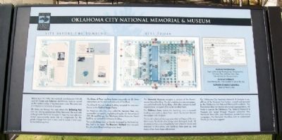
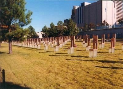
Site Before Bombing • Site Today
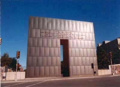
Inscription.
Before April 19, 1995, the two-block area between NW 4th and 6th Streets and Robinson and Harvey Avenues served as the northern edge of the downtown core. This area was a workplace to hundreds of people.
5th Street ran through the area where the Reflecting Pool now sits. During construction of the Memorial, the east side of the grounds had to be lowered 11 feet; the west side was raised approximately seven feet to compensate for the grade change from east to west, and to create a level area for the Reflecting Pool.
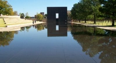
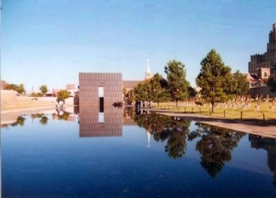
The Gates of Time rise from former crosswalks at 5th Street intersections on the east and west ends of the block.
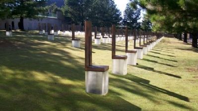
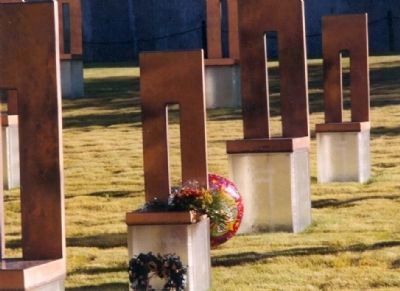
The Alfred P. Murrah Federal Building occupied the area now known as the Field of Empty Chairs.
An American elm tree, now called the Survivor Tree, was surrounded by a public, asphalt parking lot. On the corner of NW 5th and Harvey, the Oklahoma Water Resources Board Building sat west of the Athenian Building.
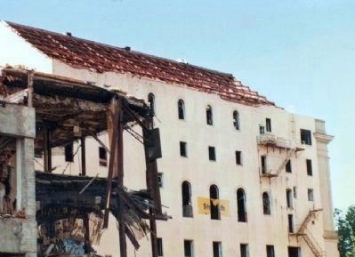
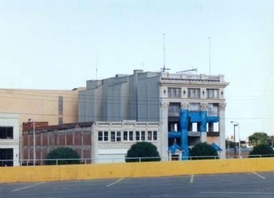
The two buildings were so heavily damaged by the bombing, they had to be razed. The Rescuers' Orchard now occupies the site where those buildings once stood.
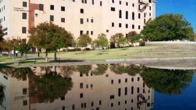
The Memorial Museum occupies a portion of the former Journal Record Building. The city's weekday business newspaper was published inside the building, while other companies and organizations occupied office suites on other floors.
The Children's Area, before the bombing was a covered loading and parking dock from which the Journal Record newspaper was shipped.
The bomb's physical damage extended well beyond this two block area. Hundreds of buildings were damaged. In all, 16 structures in the surrounding blocks had to be torn down and removed. In their place, new buildings have gone up, and many others have been refurbished.
The Oklahoma City National Memorial & Museum is an affiliate of the National Park System, owned and operated by the Oklahoma City National Memorial Foundation. The Foundation does not receive any annual appropriations. All funds to operate the Oklahoma City National Memorial & Museum are raised through Museum admission fees, Memorial Store sales, your donations, private fund raising campaigns, the Memorial Marathon and an endowment. Thank you for your support!
The Story of the Memorial [cell phone tour]
Erected by Oklahoma City National Memorial & Museum.
Topics. This historical marker is listed in these topic lists: Disasters • Government & Politics. A significant historical date for this entry is April 19, 1992.
Location. 35° 28.4′ N, 97° 30.987′ W. Marker is in Oklahoma City
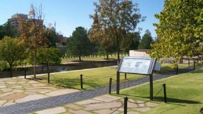
, Oklahoma, in Oklahoma County. It is in Central Oklahoma City. Marker is on Robinson Avenue south of NW 6th Street, on the left when traveling north. Marker is on the grounds of the Oklahoma City National Memorial & Museum. Touch for map. Marker is at or near this postal address: 620 North Harvey Avenue, Oklahoma City OK 73102, United States of America. Touch for directions.
Other nearby markers. At least 8 other markers are within walking distance of this marker. Survivor Tree (a few steps from this marker); a different marker also named Oklahoma City National Memorial & Museum (a few steps from this marker); Team 5 Requiem (within shouting distance of this marker); a different marker also named Survivor Tree (within shouting distance of this marker); Welcome to the Oklahoma City National Memorial & Museum (within shouting distance of this marker); Oklahoma City Bombing Children's Memorial (within shouting distance of this marker); Oklahoma City Bombing Responders' Memorial (within shouting distance of this marker); Rescuer Orchard (within shouting distance of this marker). Touch for a list and map of all markers in Oklahoma City.
Also see . . . Oklahoma City National Memorial & Museum. (Submitted on October 17, 2012, by William Fischer, Jr. of Scranton, Pennsylvania.)
Credits. This page was last revised on March 25, 2024. It was originally submitted on October 17, 2012, by William Fischer, Jr. of Scranton, Pennsylvania. This page has been viewed 1,240 times since then and 43 times this year. It was the Marker of the Week October 21, 2012. Photos: 1, 2, 3. submitted on October 17, 2012, by William Fischer, Jr. of Scranton, Pennsylvania. 4, 5. submitted on December 23, 2012, by Don Morfe of Baltimore, Maryland. 6. submitted on October 17, 2012, by William Fischer, Jr. of Scranton, Pennsylvania. 7, 8. submitted on December 23, 2012, by Don Morfe of Baltimore, Maryland. 9. submitted on October 17, 2012, by William Fischer, Jr. of Scranton, Pennsylvania. 10. submitted on December 23, 2012, by Don Morfe of Baltimore, Maryland. 11. submitted on October 17, 2012, by William Fischer, Jr. of Scranton, Pennsylvania. 12. submitted on October 21, 2012, by Mike Stroud of Bluffton, South Carolina. 13, 14, 15, 16. submitted on December 23, 2012, by Don Morfe of Baltimore, Maryland. 17. submitted on January 18, 2013, by Mike Stroud of Bluffton, South Carolina. 18, 19. submitted on December 23, 2012, by Don Morfe of Baltimore, Maryland.
