Near Woodbury in Cannon County, Tennessee — The American South (East South Central)
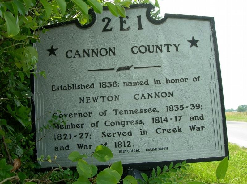
Cannon County/Warren County
Photographed by Jimmy Emerson, 2005
1. Cannon County/Warren County Marker
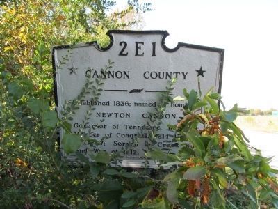
Cannon County
Established 1836; named in honor of Newton Cannon Governor of Tennessee, 1835–39; Member of Congress, 1814–17 and 1821–27; Served in Creek War and War of 1812.
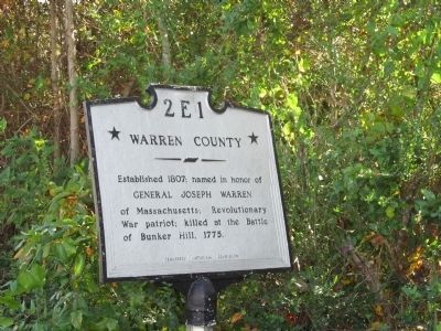
Warren County
Established 1807; names in honor of General Joseph Warren of Massachusetts; Revolutionary War patriot; killed at the Battle of Bunker Hill, 1775.
Erected by Tennessee Historical Commission. (Marker Number 2E 1.)
Topics and series. This historical marker is listed in this topic list: Political Subdivisions. In addition, it is included in the Tennessee Historical Commission series list. A significant historical year for this entry is 1836.
Location. Marker has been reported missing. It was located near 35° 45.204′ N, 85° 58.198′ W. Marker was near Woodbury, Tennessee, in Cannon County. It was on McMinnville Highway (U.S. 70S), on the right when traveling east. Touch for map. Marker was at or near this postal address: 8298 McMinnville Hwy, Woodbury TN 37190, United States of America. Touch for directions.

Regionally, this marker was in Middle Tennessee and in the Highland Rim. It was also in the American
this page online
Other nearby markers. At least 8 other markers are within 8 miles of this location, measured as the crow flies: "Mister Jim" Cummings (approx. 5.2 miles away); The Trail of Tears (approx. 6.9 miles away); Forrest Rested Here (approx. 7 miles away); Woodbury in the Civil War (approx. 7.6 miles away); East Fork Stone's River (approx. 7.6 miles away); World War I-II Memorial (approx. 7.6 miles away); Early Industry (approx. 7.7 miles away); Highway 70S Mile Marker Stone (approx. 7.7 miles away). Touch for a list and map of all markers in Woodbury.
Photographed by Judith Barber, October 18, 2012
2. Cannon County Marker
Photographed by Judith Barber, October 18, 2012
3. Warren County Marker
Photographed by Judith Barber, October 18, 2012
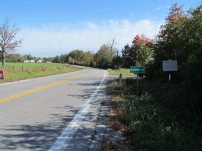
4. Warren County / Cannon County Marker
Looking towards Warren Co from the Cannon Co side.
Credits. This page was last revised on May 25, 2026. It was originally submitted on October 20, 2012, by Judith Barber of Marietta, Georgia. This page has been viewed 975 times since then and 50 times this year. Photos: 1. submitted on May 22, 2026, by Jimmy Emerson of Dalton, Georgia. 2, 3, 4. submitted on October 20, 2012, by Judith Barber of Marietta, Georgia. • Bernard Fisher was the editor who published this page.
