Guild in Marion County, Tennessee — The American South (East South Central)
Federal-Georgia Road
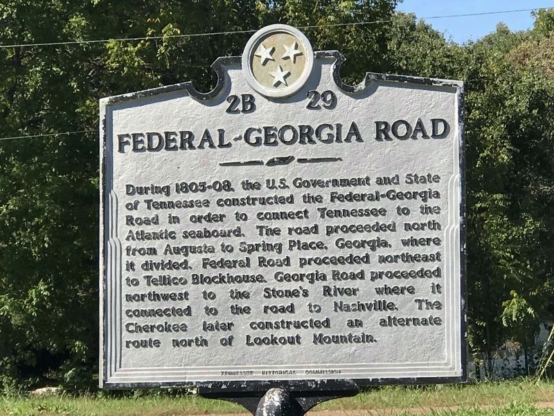
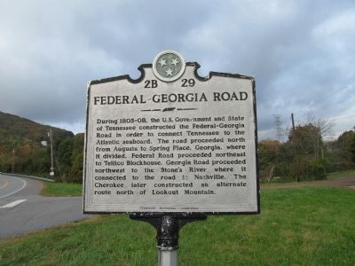
During 1805–08, the U.S. Government and State of Tennessee constructed the Federal–Georgia Road in order to connect Tennessee to the Atlantic seaboard. The road proceeded north from Augusta to Spring Place, Georgia, where it divided. Federal Road proceeded northeast to Tellico Blockhouse. Georgia Road proceeded northwest to the Stone’s River where it connected to the road to Nashville. The Cherokee later constructed an alternate route north of Lookout Mountain.
Erected by Tennessee Historical Commission. (Marker Number 2B 29.)
Topics and series. This historical marker is listed in this topic list: Roads & Vehicles. In addition, it is included in the Tennessee Historical Commission series list.
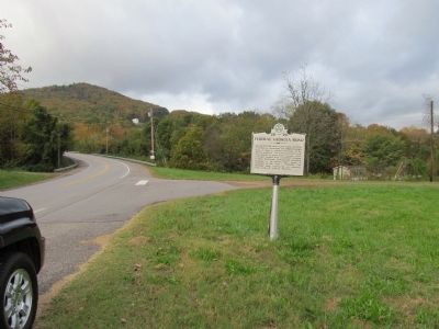
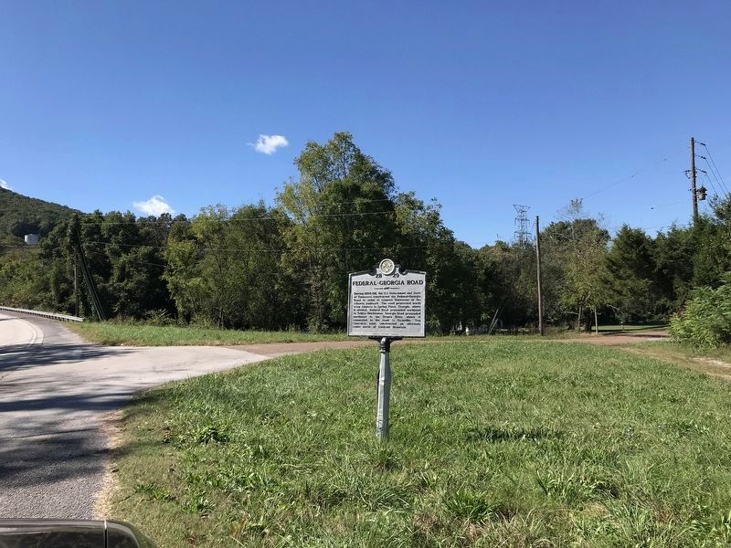
Location. 35° 0.818′ N, 85° 32.66′ W. Marker is in Guild, Tennessee, in Marion County. Marker is at the intersection of Shellmound Road (Tennessee Route 156) and Substation Road, on the right when traveling west on Shellmound Road. Touch for map. Marker is at or near this postal address: 10155 Hwy 156, Guild TN 37340, United States of America. Touch for directions.
Other nearby markers. At least 8 other markers are within 7 miles of this marker, measured as the crow flies. Civil War in Tennessee (approx. 1.2 miles away); Running Water Creek Bridge (approx. 2 miles away); Location and Capacity (approx. 2.3 miles away); Hales Bar Dam (approx. 2.3 miles away); Love's Ferry (approx. 3.7 miles away); Ebenezer Cumberland Presbyterian Church (approx. 4.3 miles away); The TVA System of Multipurpose Dams (approx. 4˝ miles away); Cole Plantation and Bethlehem Cemetery (approx. 6.2 miles away in Georgia). Touch for a list and map of all markers in Guild.
Credits. This page was last revised on May 31, 2023. It was originally submitted on October 21, 2012, by Judith Barber of Marietta, Georgia. This page has been viewed 581 times since then and 17 times this year. Last updated on May 31, 2023, by Kathleen Black of Woodbridge, Virginia. Photos: 1. submitted on October 17, 2021, by Duane and Tracy Marsteller of Murfreesboro, Tennessee. 2, 3. submitted on October 21, 2012, by Judith Barber of Marietta, Georgia. 4. submitted on October 17, 2021, by Duane and Tracy Marsteller of Murfreesboro, Tennessee. • J. Makali Bruton was the editor who published this page.


