Near Sharpsburg in Washington County, Maryland — The American Northeast (Mid-Atlantic)
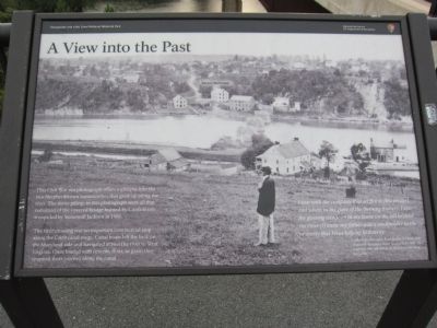
A View into the Past
This Civil War era photograph offers a glimpse into the two Shepherdstown communities that grew up along the river. The stone pilings in this photograph were all that remained of the covered bridge burned by Confederate troops led by Stonewall Jackson in 1861.
The river crossing was an important commercial stop along the C&O canal route. Canal boats left the lock on the Maryland side and navigated across the river to West Virginia. Once loaded with cement, flour, or grain they resumed their journey along the canal.
I was with the company that set fire to [the bridge], and when, in the glare of the burning timbers, I saw the glowing windows in my home on the hill beyond the river [I] knew my father was a stockholder in the property that I was helping to destroy.
- Henry Kyd Douglas, from his book, I Rode with Stonewall. Douglas's father lived at Ferry Hill, the residence that still stands on the hill overlooking this scene.
Erected by National Park Service, U.S. Department of the Interior.
Topics and series. This historical marker is listed in these topic lists: Industry & Commerce • War, US Civil. In addition, it is included in the Chesapeake and Ohio (C&O) Canal series list. A significant historical year for this entry is 1861.
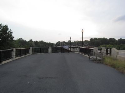
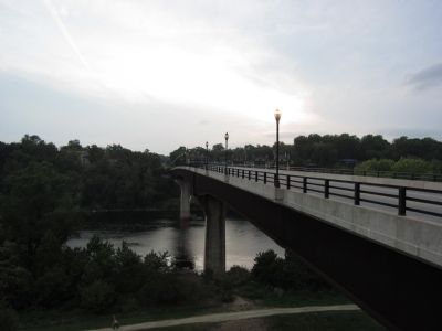
Location. 39° 26.222′ N, 77° 47.985′ W. Marker is near Sharpsburg, Maryland, in Washington County. Marker is on Shepherdstown Pike (State Highway 34), on the right when traveling north. Located on the Maryland side of the Ramsey Bridge. Best viewed by parking at the C&O Canal stop below the bridge and walking up the stairs to the overlook. Touch for map. Marker is at or near this postal address: 16339 Canal Road, Sharpsburg MD 21782, United States of America. Touch for directions.
Other nearby markers. At least 8 other markers are within walking distance of this marker. Shepherdstown (within shouting distance of this marker); Blackford's Ford (within shouting distance of this marker); Ferry Hill (about 600 feet away, measured in a direct line); Ferry Hill Place (about 600 feet away); Swearingen’s Ferry and Pack Horse Ford (approx. 0.2 miles away); a different marker also named Blackford’s Ford (approx. 0.2 miles away); The James Rumsey Bridge / The Battle of Antietam or Sharpsburg (approx. 0.2 miles away); River Crossing (approx. 0.2 miles away in West Virginia). Touch for a list and map of all markers in Sharpsburg.
Credits. This page was last revised on June 26, 2023. It was originally submitted on October 30, 2012, by Craig Swain of Leesburg, Virginia. This page has been viewed 800 times since then and 17 times this year. Photos: 1, 2, 3. submitted on October 30, 2012, by Craig Swain of Leesburg, Virginia.


