Houston in Harris County, Texas — The American South (West South Central)
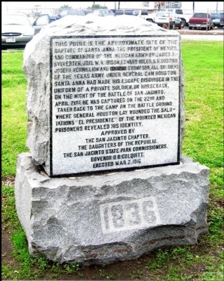
The Capture of Santa Anna
The San Jacinto Chapter.
The Daughters of the Republic.
The San Jacinto State Park Commissioners.
Governor O.B. Colquitt.
Erected Mar. 2, 1916
1836
Erected 1916 by The San Jacinto Chapter, The Daughters of the Republic.
Topics. This historical marker is listed in this topic list: War, Texas Independence. A significant historical date for this entry is April 21, 1824.
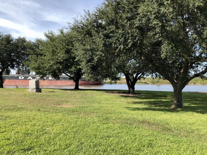
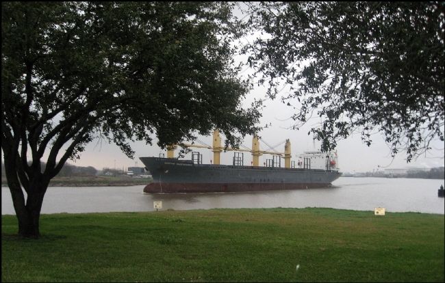
Location. 29° 43.47′ N, 95° 12.771′ W. Marker is in Houston, Texas, in Harris County. Marker can be reached from North Shaver Street, 0.4 miles north of Crown Street. From the traffic circle south of the Washburn Tunnel, head north on Federal Road toward the tunnel entrance. Do not enter the tunnel! Bear right onto the Pasadena Paper Mill entrance road. The road turns left over the tunnel to a parking area at the waterfront. Touch for map. Marker is in this post office area: Pasadena TX 77506, United States of America. Touch for directions.
Other nearby markers. At least 8 other markers are within 4 miles of this marker, measured as the crow flies. Crown Hill Cemetery (approx. half a mile away); Vince's Bridge (approx. 0.6 miles away); Bob Harris Station (approx. 0.8 miles away); Allen Ranch (approx. one mile away); City of Pasadena (approx. one mile away); Pasadena Independent School District (approx. 1.1 miles away); Texan Army Crossing of Buffalo Bayou (approx. 1.8 miles away); Glendale Cemetery (approx. 3.7 miles away). Touch for a list and map of all markers in Houston.
Regarding The Capture of Santa Anna. I think there's some dispute over the place where Santa Anna was captured. Wherever the location, it was probably somewhere between four and eight miles from the San Jacinto Battle Field where the battle was fought and from where Santa Anna, dressed as an ordinary soldier, was fleeing to escape. In those days the sparsely populated areas were not well marked.
The best account of the capture is James A. Sylvester's Official Report and the location is unclear from his report. There is little doubt that he was returned to the San Jacinto Battle Field where he made his official surrender.
The S.R. Bostick mentioned on the marker is Sion Record Bostick.
Credits. This page was last revised on February 1, 2023. It was originally submitted on November 3, 2012, by Jim Evans of Houston, Texas. This page has been viewed 4,178 times since then and 415 times this year. Photos: 1. submitted on November 3, 2012, by Jim Evans of Houston, Texas. 2. submitted on November 6, 2018, by Brian Anderson of Humble, Texas. 3. submitted on November 3, 2012, by Jim Evans of Houston, Texas. • Bernard Fisher was the editor who published this page.


