Near Presidio in Presidio County, Texas — The American South (West South Central)
El Fortin de San Jose
(The Little Fort of Saint Joseph)
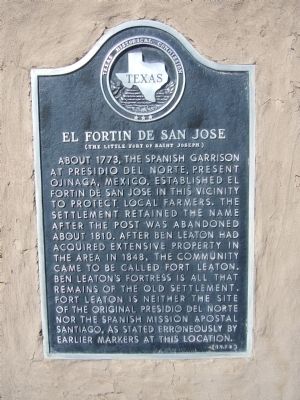
Photographed by Bill Kirchner, October 22, 2012
1. El Fortin de San Jose Marker
Erected 1978 by Texas Historical Commission. (Marker Number 1416.)
Topics. This historical marker is listed in this topic list: Forts and Castles. A significant historical year for this entry is 1773.
Location. 29° 32.561′ N, 104° 19.55′ W. Marker is near Presidio, Texas, in Presidio County. It can be reached from Farm to Market Road 170 3½ miles east of U.S. 67, on the right when traveling east. Marker is at Fort Leaton State Historic Site. Touch for map. Marker is in this post office area: Presidio TX 79845, United States of America. Touch for directions.

Regionally,
this page online
Other nearby markers. At least 2 other markers are within 14 miles of this marker, measured as the crow flies: Captain Henry Skillman (approx. 3.2 miles away); Approximate Site of Mission San Francisco de los Julimes (approx. 13.4 miles away).
Other markers no longer nearby. Mission del Apostol Santiago (was a few steps from this marker but has been confirmed missing); Presidio del Norte (was a few steps from this marker but has been confirmed missing); Home of Ben Leaton (was a few steps from this marker but has been confirmed missing).
Also see . . . Fort Leaton State Historic Site. Texas Parks and Wildlife Department (Submitted on November 6, 2012, by Bernard Fisher of Richmond, Virginia.)
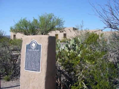
Photographed by Bill Kirchner, October 22, 2012
2. El Fortin de San Jose Marker
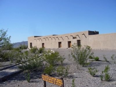
Photographed by Bill Kirchner, October 22, 2012
3. El Fortin de San Jose
Credits. This page was last revised on June 16, 2016. It was originally submitted on November 4, 2012, by Bill Kirchner of Tucson, Arizona. This page has been viewed 881 times since then and 49 times this year. Photos: 1, 2, 3. submitted on November 4, 2012, by Bill Kirchner of Tucson, Arizona. • Bernard Fisher was the editor who published this page.
