Downieville in Sierra County, California — The American West (Pacific Coastal)
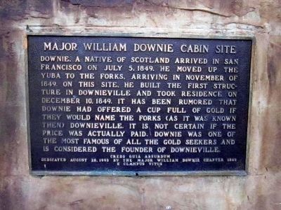
Major William Downie Cabin Site
Erected 1993 by Major William Downie Chapter 1849, E Clampus Vitus.
Topics and series. This historical marker is listed in this topic list: Settlements & Settlers. In addition, it is included in the E Clampus Vitus series list. A significant historical month for this entry is July 1915.
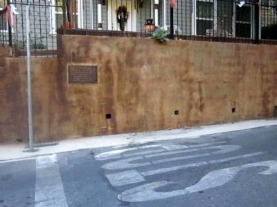
Location. 39° 33.788′ N, 120° 49.535′ W. Marker is in Downieville, California, in Sierra County. Marker is at the intersection of Main Street (Also known as Old Main Street) and East River Street, on the right when traveling west on Main Street (Also known as Old Main Street). Touch for map. Marker is at or near this postal address: 430 Main Street, Downieville CA 95936, United States of America. Touch for directions.
Other nearby markers. At least 8 other markers are within walking distance of this marker. Downieville Brewery (about 400 feet away, measured in a direct line); Downieville Foundry (about 700 feet away); First Catholic Church (approx. 0.2 miles away); Arrastra (approx. 0.2 miles away); Downieville Museum (approx. 0.2 miles away); Downieville (approx. 0.2 miles away); Mackerman & Company Building (approx. 0.2 miles away); St. Charles Hotel (approx. ¼ mile away). Touch for a list and map of all markers in Downieville.
Credits. This page was last revised on August 29, 2020. It was originally submitted on November 5, 2012, by Syd Whittle of Mesa, Arizona. This page has been viewed 524 times since then and 27 times this year. Photos: 1, 2. submitted on November 5, 2012, by Syd Whittle of Mesa, Arizona.

