
Mukilteo in Snohomish County, Washington — The American West (Northwest)
Early Explorers
Mulkilteo Walking Tour Stop 7
Photographed by Barry Swackhamer, October 31, 2012
1. Early Explorers Marker
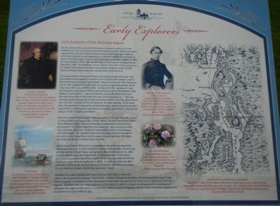
Early Explorers of the Mukilteo Region
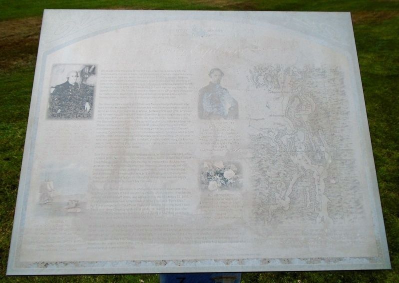
We do not know the name of the first man or women to venture into the Mukilteo area, but we do know that the ancestors of today’s Native Americans migrated from Asia to North America at least 12,000 years ago. Evidence of the next explorers is also fragmented, as scholars debate the possibility of visits to the Washington coast by early Polynesians, a Chinese navigator in 458, Sir Francis Drake in 1579, and Juan de Fuca (a Greek mariner employed by the Spanish) in 1592. The historical record is clearer in the 18th century, as Russian fur traders came down from Siberia and Spanish navigators came up from Mexico, drawing sketch maps and making claims along the coast.
The towering figure among all of them was Captain George Vancouver, who led a British naval expedition to explore and map the entire western coast of North America, from California to Alaska. Between 1791 and 1795, Vancouver and his men mapped the 5,000 miles of coastline so well that portions of his maps were still used until the 1920s. On May 30, 1792, Vancouver’s ship, the Discovery, anchored just off the point
this page online
Rose Point remained the English-language name of this site until 1841, when a United States Naval Lieutenant, Charles Wilkes, named it Point Elliot (called Elliot Point on modern charts) on the map he produced for the American government. The Wilkes Expedition was part of a larger policy to strengthen the claim of the United States on the region, whose trade was still largely dominated by Britain’s Hudson’s Bay Company.
Resistance by Native Americans to immigration into what was named the Washington Territory in 1853 resulted in a series of ten treaties, of which the second, the Point Elliott Treaty, was
Photographed by Barry Swackhamer, October 31, 2012
2. Early Explorers Marker
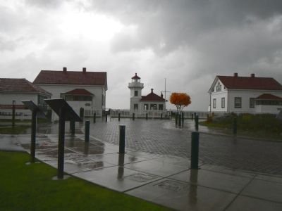
The Mukilteo Lighthouse is in the background.
Mukilteo’s founders rejected both Rose Point and Point Elliot in favor of a name in the Snohomish language: Muckl-te-ho. Written in English as Mukilteo, the word probably meant “long neck of the goose” in reference to the narrow spit of land which was here at the time (most of Lighthouse Park was a lagoon). Mukilteo may have been used also by the Indians to refer to a “good camping ground or meeting place”. Whatever the origins of the name, it may be seen today as a kind of linguistic tribute to that first human explorer who arrived here so many millennia ago.
Text courtesy of John & Ann Collier, Mukilteo Historical Society
Erected by City of Mukilteo.
Topics and series. This historical marker is listed in these
Photographed by William Fischer, Jr., July 29, 2021
3. Early Explorers Marker
Location. 47° 56.896′ N, 122° 18.369′ W. Marker has been reported unreadable. Marker is in Mukilteo, Washington, in Snohomish County. It is on Front Street. This marker is located at Mukilteo Lighthouse Park. Touch for map. Marker is at or near this postal address: 610 Front Street, Mukilteo WA 98275, United States of America. Touch for directions.

Regionally, this marker is in the Puget Sound Region and in Greater Seattle. It is also on the American Pacific Coast, in the Pacific Northwest, and in the Lewis & Clark Corridor. Globally, it is in North America, in the Cascade Range, in the Inside Passage, on the Ring of Fire, in the Pacific Rim, in the Western Hemisphere, in the Western World, and in the Anglosphere.
Other nearby markers. At least 8 other markers are within walking distance of this location: Geology of Mukilteo (here, next to this marker); Light Station and Park (within shouting distance of this marker); Point Elliott Treaty (within shouting distance
Photographed by Pat Filippone, May 27, 2015
4. Sign in front of lighthouse
Also see . . .
1. Mukilteo Walking Tour Brochure (front). (Submitted on August 5, 2021, by William Fischer, Jr. of Reynoldsburg, Ohio.)
2. Mukilteo Walking Tour Brochure (back). (Submitted on August 5, 2021, by William Fischer, Jr. of Reynoldsburg, Ohio.)
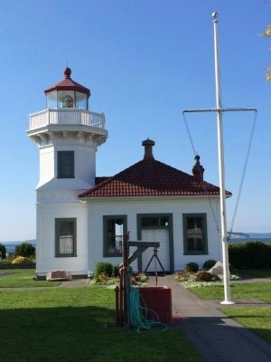
Photographed by Pat Filippone, May 27, 2015
5. The Lighthouse
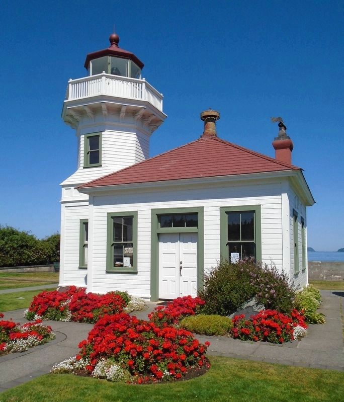
Photographed by William Fischer, Jr., July 29, 2021
6. Mukilteo Lighthouse

Photographed by Alison G Schureck, June 7, 2025
7. Early Explorers Marker - 2025

Photographed by Craig Baker, December 24, 2025
8. Plaque in front of Lighthouse Tower
See Nearby Marker
Credits. This page was last revised on December 26, 2025. It was originally submitted on November 12, 2012, by Barry Swackhamer of Brentwood, California. This page has been viewed 867 times since then and 27 times this year. Photos: 1, 2. submitted on November 12, 2012, by Barry Swackhamer of Brentwood, California. 3. submitted on August 5, 2021, by William Fischer, Jr. of Reynoldsburg, Ohio. 4, 5. submitted on May 27, 2015, by Pat Filippone of Stockton, California. 6. submitted on August 5, 2021, by William Fischer, Jr. of Reynoldsburg, Ohio. 7. submitted on June 7, 2025, by Alison G Schureck of Louisville, Kentucky. 8. submitted on December 24, 2025, by Craig Baker of Sylmar, California. • Syd Whittle was the editor who published this page.
