Near Coupeville in Island County, Washington — The American West (Northwest)
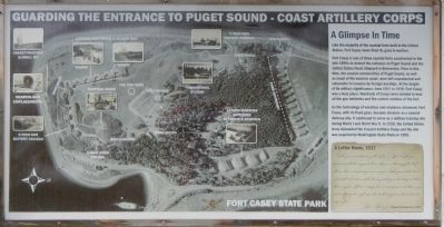
Guarding the Entrance to Puget Sound – Coast Artillery Corps
Fort Casey State Park
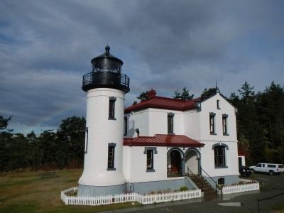
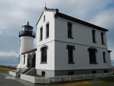
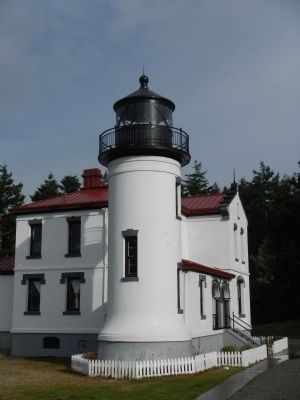
— Admiralty Head Lighthouse —
Inscription.
A Glimpse In Time
Like the majority of the coastal forts built in the United States, Fort Casey never fired its guns in warfare.
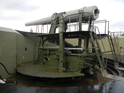
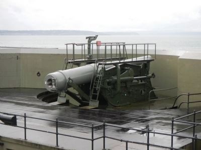
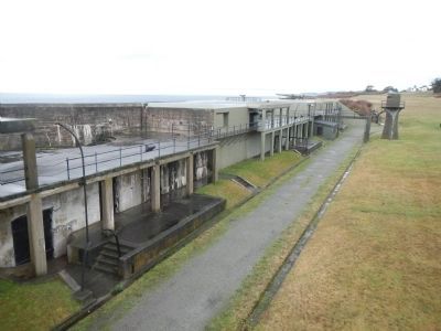
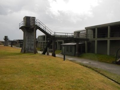
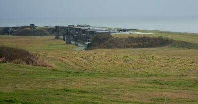
Fort Casey is one of three coastal forts constructed in the late 1890s to defend the entrance to Puget Sound and the United States Naval Shipyard in Bremerton. Prior to this time, the coastal communities of Puget Sound, as well as much of the western coast, were left unprotected and vulnerable to invasion by foreign warships. At the height of its military significance, from 1901 to 1919, Fort Casey was a busy place. Hundreds of troops were needed to man all the gun batteries and fire control stations of the fort.
As the technology of warships and airplanes advanced, Fort Casey, with its fixed guns, became obsolete as a coastal defense site. It continued to serve as a military training site during World War I and World War II. In 1950, the United States Army disbanded the Coastal Artillery Corps and the site was acquired by Washington State Parks in 1956.
A Letter Home, 1917
The gun commander yells, “Number 1 Fire!” The gun pointer pulls the magneto lever, there is a blinding flash of flame, then a deafening roar and jar. The gun settles back into its first position while the projectile goes hurtling out through the air. Ten – fifteen – twenty-five seconds pass and there way out in the straits, right up close to the target, a cloud of water rises a fit!’
Glenn Rauley, Private-First Class, December 9, 1917
Erected by Fort Casey State Park.
Topics and series. This historical marker is listed in these topic lists: Forts and Castles • War, World I • War, World II. In addition, it is included in the Lighthouses series list. A significant historical date for this entry is December 9, 1846.
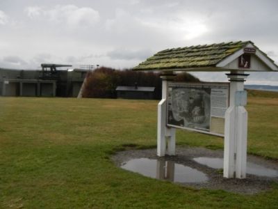
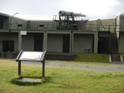
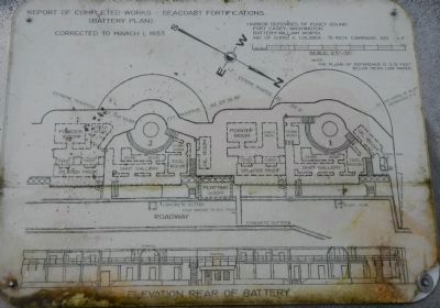
Location. 48° 9.462′ N, 122° 40.68′ W. Marker is near Coupeville, Washington, in Island County. Marker is on Washington Route 20. This marker is located near the Battery Worth parking lot in Fort Casey State Park. Touch for map. Marker is in this post office area: Coupeville WA 98239, United States of America. Touch for directions.
Other nearby markers. At least 8 other markers are within 4 miles of this marker, measured as the crow flies. Washington State Ferries (approx. 0.3 miles away); Ebey's Landing National Historical Reserve (approx. 0.3 miles away); Northern Olympic Peninsula (approx. 0.3 miles away); The Crockett Blockhouse (approx. 1.1 miles away); Ebey Blockhouse (approx. 3.4 miles away); Sunnyside (approx. 3˝ miles away); A Bold New Idea (approx. 3˝ miles away); Mary Barrett (approx. 3.6 miles away). Touch for a list and map of all markers in Coupeville.
Also see . . . Fort Casey - Fort Wiki Histori U.S. Canadian Forts
. Fort Casey (1890-1950) - In 1890 the U.S. Army established its garrison at Fort Casey and in 1897 expanded the post with a additional 123 acres of land. Construction on the gun batteries began in August 1897. The post was named in G.O. 134, 22 Jul 1899, for Brigadier General Thomas Lincoln Casey, U.S. Army Chief of Engineers (1888-1895). The Fort was officially activated in 1900, placed in caretaker status in 1950 and acquired by Washington State in 1956. (Submitted on November 13, 2012, by Barry Swackhamer of Brentwood, California.)
Credits. This page was last revised on October 14, 2020. It was originally submitted on November 13, 2012, by Barry Swackhamer of Brentwood, California. This page has been viewed 1,016 times since then and 29 times this year. Photos: 1, 2, 3, 4, 5, 6, 7, 8, 9, 10, 11, 12. submitted on November 13, 2012, by Barry Swackhamer of Brentwood, California. • Syd Whittle was the editor who published this page.
