Pecos in Reeves County, Texas — The American South (West South Central)
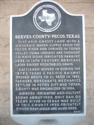
Reeves County-Pecos, Texas
Cattlemen moved in during the 1870s. Texas & Pacific Railway opened route to El Paso in 1882. Farmers, merchants, mechanics settled in Pecos City and Toyah. County was organized in 1884.
Modern irrigated agriculture began about 1900. Only dam on Pecos River in Texas was built in this county 1935. Privately owned deep wells are also used.
Erected 1967 by State Historical Survey Committee. (Marker Number 4227.)
Topics. This historical marker is listed in these topic lists: Agriculture • Settlements & Settlers. A significant historical year for this entry is 1882.
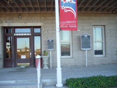
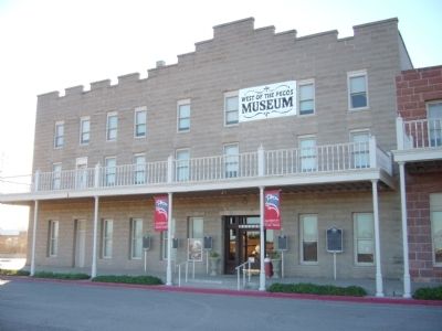
Location. 31° 25.658′ N, 103° 29.732′ W. Marker is in Pecos, Texas, in Reeves County. Marker is at the intersection of East 1st Street and South Cedar Street (U.S. 285), on the left when traveling west on East 1st Street. Marker is in front of West of the Pecos Museum. Touch for map. Marker is at or near this postal address: 120 East 1st Street, Pecos TX 79772, United States of America. Touch for directions.
Other nearby markers. At least 8 other markers are within walking distance of this marker. The Pecos Cantaloupe (here, next to this marker); Spanish Explorers (here, next to this marker); Mrs. Lillie W. Cole (here, next to this marker); Orient Hotel (here, next to this marker); Emigrants' Crossing (a few steps from this marker); Pecos, Texas (within shouting distance of this marker); George R. Reeves (approx. ¼ mile away); Reeves County World War II Memorial (approx. ¼ mile away). Touch for a list and map of all markers in Pecos.
Credits. This page was last revised on June 16, 2016. It was originally submitted on November 21, 2012, by Bill Kirchner of Tucson, Arizona. This page has been viewed 528 times since then and 15 times this year. Photos: 1, 2, 3. submitted on November 21, 2012, by Bill Kirchner of Tucson, Arizona. • Bernard Fisher was the editor who published this page.


