
Near Weimar in Fayette County, Texas — The American South (West South Central)
Dubina
Photographed by Gregory Walker, September 29, 2012
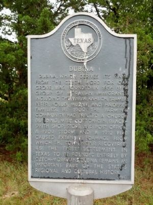
1. Dubina Marker
Dubina, which derives its name from the Czech word for oak grove, was founded in 1856 by a group of Moravian immigrants, including the Marak, Kahlich, Sramek, Peter, Holub, Muzny, and Haidusek families. By 1900 the farming community had erected a church building, mill, cotton gin, blacksmith shop, store, and post office. A 1909 storm and a 1912 fire caused extensive damage from which the town never recovered. As the first settlement in Texas to be founded entirely by Czech-Moravians, Dubina remains an important part of the state's regional and cultural history.
Erected 1983 by Texas Historical Commission. (Marker Number 1290.)
Topics. This historical marker is listed in this topic list: Settlements & Settlers. A significant historical year for this entry is 1856.
Location. 29° 43.791′ N, 96° 50.019′ W. Marker is near Weimar, Texas, in Fayette County. It is on Farm to Market Road 1383 0.1 miles north of Piano Bridge Road, on the right when traveling north. Touch for map. Marker is in this post office area: Weimar TX 78962, United States of America. Touch for directions.

Regionally, this marker is in the American South
this page online
Other nearby markers. At least 8 other markers are within 4 miles of this marker, measured as the crow flies: Weimar Masonic Cemetery (approx. 3.1 miles away); The Holman-Seifert Homestead (approx. 3.1 miles away); John Pettit Borden (approx. 3.2 miles away); St. Michael’s Catholic Church (approx. 3.6 miles away); Town of Weimar (approx. 3.7 miles away); Etta Moten Barnett (approx. 3.7 miles away); Weimar Masonic Lodge No. 423 (approx. 3.7 miles away); Weimar Railroad Depot (approx. 3.8 miles away). Touch for a list and map of all markers in Weimar.
Photographed by Stan Lewis, June 12, 2023
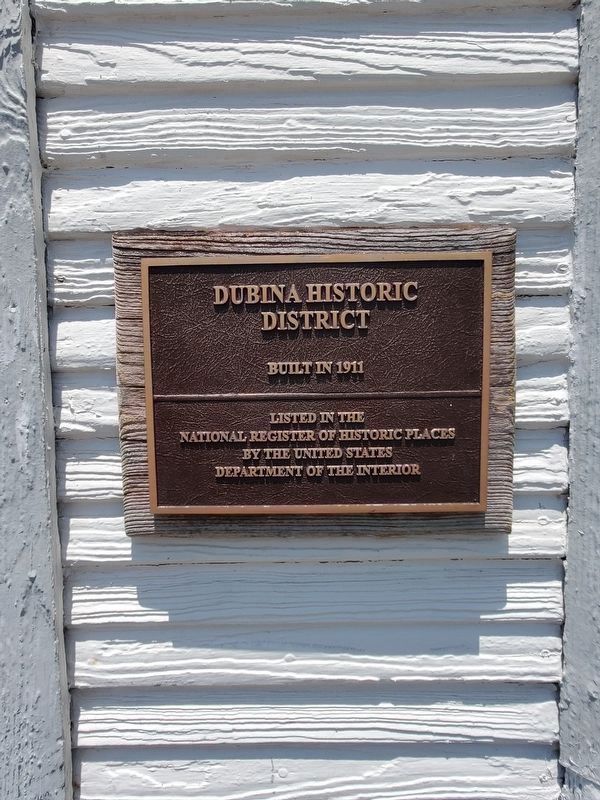
2. Dubina Historic District National Register of Historic Places Marker
The marker is on the nearby Sts. Cyril and Methodius Church in Dubina, Texas.

Photographed by Gregory Walker, September 29, 2012
3. Location of Dubina Marker
Credits. This page was last revised on July 8, 2023. It was originally submitted on November 22, 2012, by Gregory Walker of La Grange, Texas. This page has been viewed 1,087 times since then and 117 times this year. Photos: 1. submitted on November 22, 2012, by Gregory Walker of La Grange, Texas. 2. submitted on July 8, 2023, by Stan Lewis of Houston, Texas. 3. submitted on November 22, 2012, by Gregory Walker of La Grange, Texas. • Bernard Fisher was the editor who published this page.
