
Greenbank's Hollow
A Forgotten Village
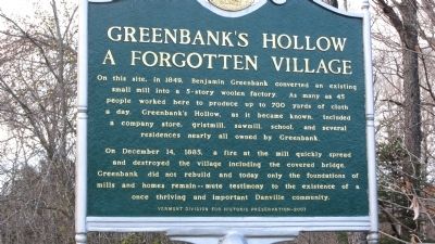
On December 14, 1885, a fire at the mill quickly spread and destroyed the village including the covered bridge. Greenbank did not rebuild and today only the foundations of mills and homes remain -- mute testimony to the existence of a once thriving and important Danville community.
Erected 2007 by Vermont Division for Historic Preservation.
Topics and series. This historical marker is listed in these topic lists: Disasters • Industry & Commerce • Settlements & Settlers. In addition, it is included in the Covered Bridges, and the Vermont Division for Historic Preservation Markers series lists. A significant historical month for this entry is December 1896.
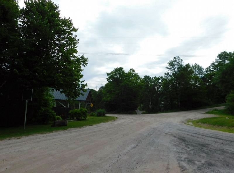
Location. 44° 22.646′ N, 72° 7.336′ W. Marker is in Danville, Vermont, in Caledonia County. It is at the intersection of Greenbanks Hollow
this page online

Regionally, this marker is in Vermont’s Connecticut River Valley, in the Green Mountains, and in the Northeast Kingdom. It is also in the American Northeast and in New England. Globally, it is in North America, the Great North Woods, the Western Hemisphere, the Western World, and the Anglosphere.
Other nearby markers. At least 8 other markers are within 6 miles of this marker, measured as the crow flies: Danville Civil War Memorial (approx. 2½ miles away); Danville Veterans Memorial (approx. 2½ miles away); Thaddeus Stevens (approx. 2½ miles away); Caledonia County Grammar School (approx. 4.2 miles away); Moore Round Barn (approx. 4.6 miles away); Passumpsic Veterans Memorial (approx. 4.7 miles away); Ben's Mill (approx. 4.8 miles away); Site of Camp Baxter (approx. 5.2 miles away). Touch for a list and map of all markers in
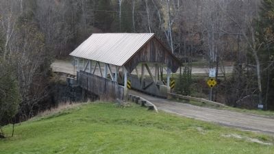
Regarding Greenbank's Hollow. The Danville Vermont Historical Society has erected an informational exhibit nearby with photographs and stories of the area in its heyday. The remains of the various building foundations have been preserved and are marked. The Greenbanks Hollow Covered Bridge is listed on the National Register of Historic Places.
Also see . . . Danville Vermont Historical Society. Information and happenings regarding Danville's forgotten village. (Submitted on November 26, 2012, by Steve Bergeron of Venice, Florida.)

Credits. This page was last revised on July 10, 2026. It was originally submitted on November 26, 2012, by Steve Bergeron of Venice, Florida. This page has been viewed 899 times since then and 43 times this year. Photos: 1, 2. submitted on November 26, 2012, by Steve Bergeron of Venice, Florida. 3, 4. submitted on June 14, 2026, by Jimmy Emerson of Dalton, Georgia. • Bill Pfingsten was the editor who published this page.
