Near Andrews in Andrews County, Texas — The American South (West South Central)
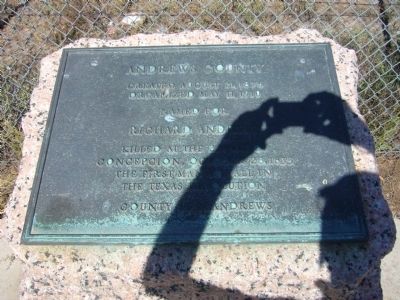
Andrews County
Organized May 11, 1910
Named for
Richard Andrews
killed at the Battle of
Concepcion, October 28, 1835
the first man to fall
in the Texas Revolution
County seat, Andrews
Erected 1936 by State of Texas. (Marker Number 167.)
Topics and series. This historical marker is listed in these topic lists: Settlements & Settlers • War, Texas Independence. In addition, it is included in the Texas 1936 Centennial Markers and Monuments series list. A significant historical date for this entry is May 11, 1941.
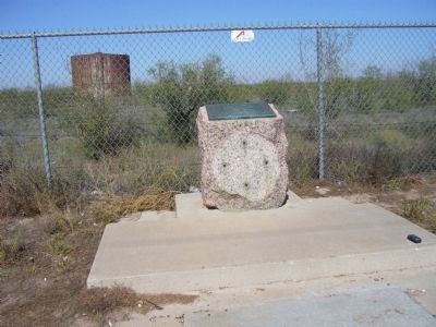
Location. 32° 22.04′ N, 102° 48.358′ W. Marker is near Andrews, Texas, in Andrews County. Marker is on Eunice Highway (State Highway 176) 0.3 miles east of County Road 7001, on the right when traveling west. Marker is in road side picnic area. Touch for map. Marker is in this post office area: Andrews TX 79714, United States of America. Touch for directions.
Other nearby markers. At least 3 other markers are within 9 miles of this marker, measured as the crow flies. Frankel City (approx. 2 miles away); Shafter Lake Townsite (approx. 7˝ miles away); Andrews County Discovery Well (approx. 9 miles away).
Credits. This page was last revised on June 16, 2016. It was originally submitted on November 26, 2012, by Bill Kirchner of Tucson, Arizona. This page has been viewed 1,585 times since then and 50 times this year. Photos: 1, 2. submitted on November 26, 2012, by Bill Kirchner of Tucson, Arizona. • Bernard Fisher was the editor who published this page.

