Marthasville in Warren County, Missouri — The American Midwest (Upper Plains)
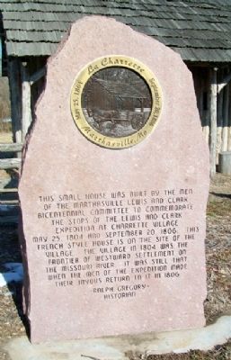
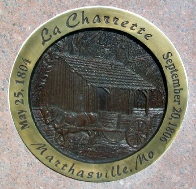
La Charrette
May 25, 1804 • September 20, 1806
— Marthasville, Mo —
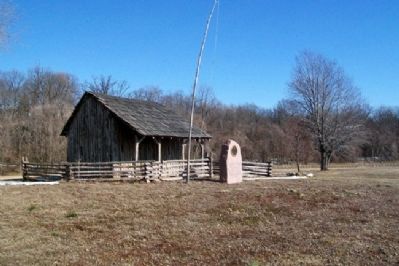
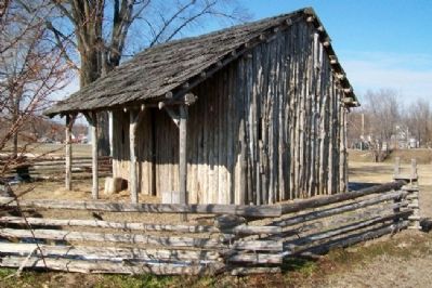
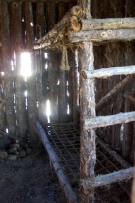
This small house was built by the men of the Marthasvile Lewis and Clark Bicentennial Committee to commemorate the stops of the Lewis and Clark Expedition at Charrette village May 25, 1804 and September 20, 1806. This French style house is on the site of the village. The village in 1804 was the frontier of westward settlement on the Missouri River. It was still that when the men of the expedition made their joyous return to it in 1806.
Historian
Erected by Town of Marthasville.
Topics and series. This historical marker is listed in these topic lists: Architecture • Exploration • Settlements & Settlers. In addition, it is included in the Lewis & Clark Expedition series list. A significant historical date for this entry is May 25, 1804.
Location. 38° 37.572′ N, 91° 3.589′ W. Marker is in Marthasville, Missouri, in Warren County. Marker is on 1st Street, 0.1 miles north of Missouri Highway 47/94, on the right when traveling north. Marker is in Wessel Park, about 200 feet south of the Katy Trail pathway. Touch for map. Marker is in this post office area: Marthasville MO 63357, United States of America. Touch for directions.
Other nearby markers. At least 8 other markers are within walking distance of this marker. La Charrette / Marthasville (within shouting distance of this marker); The Lewis and Clark Expedition Across Missouri (about 400 feet away, measured in a direct line); a different marker also named The Lewis and Clark Expedition Across Missouri (about 400 feet away); 25th Anniversary (about 400 feet away); History of Marthasville (about 400 feet away); Marthasville to Dutzow (about 400 feet away); Lewis and Clark in Missouri (about 500 feet away); The Daniel Boone Trail (about 500 feet away). Touch for a list and map of all markers in Marthasville.
Also see . . . Marthasville — Rich In History. City website entry (Submitted on May 16, 2023, by Larry Gertner of New York, New York.)
Credits. This page was last revised on May 16, 2023. It was originally submitted on November 30, 2012, by William Fischer, Jr. of Scranton, Pennsylvania. This page has been viewed 1,213 times since then and 31 times this year. Photos: 1, 2, 3, 4, 5. submitted on November 30, 2012, by William Fischer, Jr. of Scranton, Pennsylvania.
