Near Lakeville in St. Joseph County, Indiana — The American Midwest (Great Lakes)
Huggart Settlement
Erected 1998 by Indiana Historical Bureau and Huggart Settlement Task Force. (Marker Number 71.1998.1.)
Topics and series. This historical marker is listed in these topic lists: African Americans • Settlements & Settlers. In addition, it is included in the Indiana Historical Bureau Markers series list. A significant historical year for this entry is 1834.
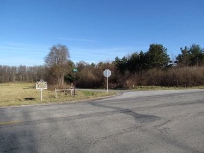
Location. 41° 32.103′ N, 86° 18.722′ W. Marker is near Lakeville, Indiana, in St. Joseph County. Marker is at the intersection of Pierce Road (State Road 4) and Mulberry Rd, on the right when traveling west on Pierce Road. Touch for map. Marker is in this post office area: Lakeville IN 46536, United States of America. Touch for directions.
Other nearby markers. At least 8 other markers are within 11 miles of this marker, measured as the crow flies. Porter (Rea) Cemetery (approx. 2.3 miles away); A Champion of Farmland to Parkland (approx. 2.6 miles away); People Make the Difference (approx. 2.6 miles away); Indiana Territorial Line (approx. 6.4 miles away); The Sons of Israel Synagogue (approx. 9.9 miles away); South Bend Blue Sox (approx. 10 miles away); Harold C. Urey (approx. 10 miles away); Robertson's Department Store (approx. 10.2 miles away).
Credits. This page was last revised on June 16, 2016. It was originally submitted on December 17, 2012, by Duane Hall of Abilene, Texas. This page has been viewed 595 times since then and 19 times this year. Photos: 1, 2. submitted on December 17, 2012, by Duane Hall of Abilene, Texas. 3. submitted on July 13, 2015, by Duane Hall of Abilene, Texas. • Bill Pfingsten was the editor who published this page.


