Greeneville in Greene County, Tennessee — The American South (East South Central)
Bright Hope Industries
Photographed by Bill Coughlin, August 4, 2012
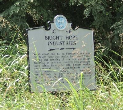
1. Bright Hope Industries Marker
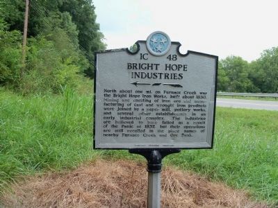
North about one mi. on Furnace Creek was the Bright Hope Iron Works, built about 1830. Mining and smelting of iron ore and manufacturing of cast and wrought iron products were joined by a paper mill, pottery works, and several other establishments in an early industrial complex. The industries are believed to have failed as a result of the panic of 1837, but their operations are still recalled in the place names of early Furnace Creek and Ore Bank.
Erected by Tennessee Historical Commission. (Marker Number 1C 48.)
Topics and series. This historical marker is listed in this topic list: Industry & Commerce. In addition, it is included in the Tennessee Historical Commission series list. A significant historical year for this entry is 1830.
Location. 36° 4.757′ N, 82° 57.614′ W. Marker is in Greeneville, Tennessee, in Greene County. It is at the intersection of Newport Hwy (U.S. 321) and Bright Hope Road, on the right when traveling south on Newport Hwy. Touch for map. Marker is in this post office area: Greeneville TN 37743, United States of America. Touch for directions.

Regionally, this marker is in East Tennessee.
this page online
Other nearby markers. At least 8 other markers are within 9 miles of this marker, measured as the crow flies: Bible Covered Bridge (approx. 6.1 miles away); Battle of Blue Springs (approx. 7.4 miles away); a different marker also named Battle of Blue Springs (approx. 7½ miles away); Swaggerty Fort (approx. 7.6 miles away); Blue Springs Church and Cemetery (approx. 7.6 miles away); Blue Springs Lutheran Congregation (approx. 7.7 miles away); A Hill with a Pleasant View (approx. 8.6 miles away); Andrew Johnson (approx. 8.6 miles away). Touch for a list and map of all markers in Greeneville.
Another marker is no longer nearby. Battles of Blue Springs (was approx. 7½ miles away but has been
Photographed by Bill Coughlin, August 4, 2012
2. Bright Hope Industries Marker
Photographed by Bill Coughlin, August 4, 2012
3. Bright Hope Industries Marker
Photographed by Lisa Barnett, August 23, 2014
4. Bright Hope Industries Marker
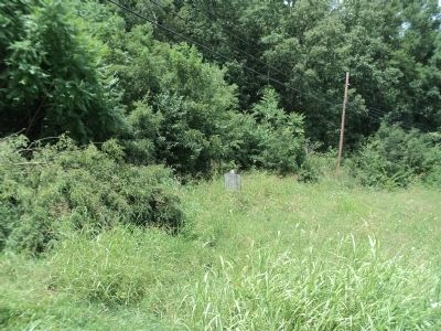
Photographed by Bill Coughlin, August 4, 2012
5. Bright Hope Industries Marker
Credits. This page was last revised on June 16, 2016. It was originally submitted on December 17, 2012, by Bill Coughlin of Woodland Park, New Jersey. This page has been viewed 1,010 times since then and 77 times this year. Photos: 1, 2, 3. submitted on December 17, 2012, by Bill Coughlin of Woodland Park, New Jersey. 4. submitted on August 23, 2014, by Lisa Barnett of Jonesborough, Tennessee. 5. submitted on December 17, 2012, by Bill Coughlin of Woodland Park, New Jersey.
