Fremont in Steuben County, Indiana — The American Midwest (Great Lakes)
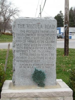
The Vistula Road
Erected 1966 by Pokagon Chapter of the Daughters of the American Revolution.
Topics and series. This historical marker is listed in this topic list: Roads & Vehicles. In addition, it is included in the Daughters of the American Revolution series list. A significant historical year for this entry is 1833.
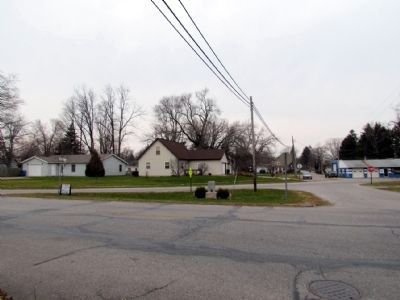
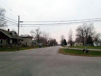
Location. 41° 43.855′ N, 84° 55.687′ W. Marker is in Fremont, Indiana, in Steuben County. Marker is at the intersection of Toledo St (State Road 120) and N. Ray St, on the left when traveling east on Toledo St. Touch for map. Marker is in this post office area: Fremont IN 46737, United States of America. Touch for directions.
Other nearby markers. At least 8 other markers are within 4 miles of this marker, measured as the crow flies. Steven A. Vaughn House (about 400 feet away, measured in a direct line); Michael-Sullins House (approx. 0.2 miles away); Fremont Indiana (approx. ¼ mile away); Veterans Memorial Flag Pole (approx. ¼ mile away); Beams Funeral Home Veterans Memorial (approx. 0.3 miles away); The Erastus Farnham House (approx. 0.6 miles away); Sam and Adeline Ropchan Wildlife Refuge (approx. 1.1 miles away); The Unknown Potawatomi (approx. 3.8 miles away). Touch for a list and map of all markers in Fremont.
Credits. This page was last revised on June 16, 2016. It was originally submitted on December 21, 2012, by Duane Hall of Abilene, Texas. This page has been viewed 782 times since then and 25 times this year. Photos: 1. submitted on December 21, 2012, by Duane Hall of Abilene, Texas. 2. submitted on January 21, 2014, by Duane Hall of Abilene, Texas. 3. submitted on December 21, 2012, by Duane Hall of Abilene, Texas. • Bill Pfingsten was the editor who published this page.


