West Bradford Township near West Chester in Chester County, Pennsylvania — The American Northeast (Mid-Atlantic)
Indian Rock
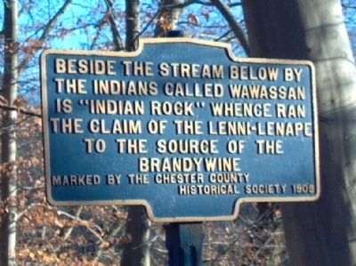
“Indian Rock”
whence ran the claim of the Lenni-Lenape to the source of the Brandywine
Erected 1909 by Chester County Historical Society.
Topics. This historical marker is listed in these topic lists: Native Americans • Notable Places.
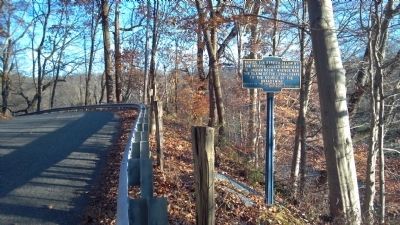
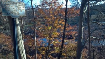
Location. 39° 55.435′ N, 75° 41.378′ W. Marker is near West Chester, Pennsylvania, in Chester County. It is in West Bradford Township. Marker is on Brandywine Drive, 0.1 miles west of Northbrook Road, on the right when traveling east. This marker in on the ridge along the Brandywine Creek between Warpath Road & Northbrook Road. Touch for map. Marker is at or near this postal address: 156 Brandywine Dr, West Chester PA 19382, United States of America. Touch for directions.
Other nearby markers. At least 8 other markers are within 2 miles of this marker, measured as the crow flies. Lenni-Lenape Indian Burial Ground (approx. 0.4 miles away); Cabin of Indian Hannah (approx. half a mile away); Trimbleville Historic District (approx. 0.6 miles away); Trimble's Ford (approx. 0.9 miles away); Locust Grove School (approx. 1.7 miles away); The Marshallton Historic District (approx. 1.7 miles away); Nathan Simms (approx. 1.7 miles away); views of the past (approx. 1.7 miles away). Touch for a list and map of all markers in West Chester.
Also see . . . Lenni Lenape - Wikipedia. (Submitted on December 19, 2012, by Keith S Smith of West Chester, Pennsylvania.)
Credits. This page was last revised on February 7, 2023. It was originally submitted on December 19, 2012, by Keith S Smith of West Chester, Pennsylvania. This page has been viewed 1,552 times since then and 66 times this year. Last updated on December 22, 2012. Photos: 1, 2, 3. submitted on December 19, 2012, by Keith S Smith of West Chester, Pennsylvania. • Bill Pfingsten was the editor who published this page.


