Near Bluffton in Wells County, Indiana — The American Midwest (Great Lakes)
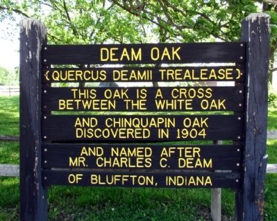
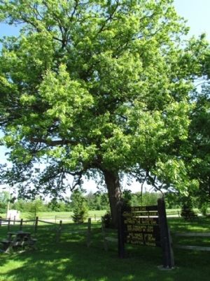
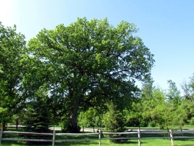
Deam Oak
(Quercus Deamii Trealease)
This oak is a cross between the White oak and Chinquapin oak. Discovered in 1904 and named after Mr. Charles C. Deam of Bluffton, Indiana.
Topics. This historical marker is listed in this topic list: Horticulture & Forestry. A significant historical year for this entry is 1904.
Location. 40° 46.693′ N, 85° 11.589′ W. Marker is near Bluffton, Indiana, in Wells County. Marker is at the intersection of State Road 116 and County Road E250N, on the right when traveling north on State Road 116. Touch for map. Marker is in this post office area: Bluffton IN 46714, United States of America. Touch for directions.
Other nearby markers. At least 8 other markers are within 4 miles of this marker, measured as the crow flies. Bluffton Mill Race (approx. 2.9 miles away); Wells County 1862 Cannon - Civil War (approx. 2.9 miles away); Sgt. William Bumparner (approx. 2.9 miles away); Wells County Courthouse (approx. 2.9 miles away); Pickett's Run (approx. 3 miles away); Charles C. Deam (approx. 3.1 miles away); S. Bruce Kephart, M.D. (approx. 3.3 miles away); Wells County War on Terrorism Honor Roll (approx. 3.4 miles away). Touch for a list and map of all markers in Bluffton.
Also see . . .
1. Quercus × deamii (Dream's Oak). Wikipedia entry (Submitted on April 10, 2023, by Larry Gertner of New York, New York.)
2. Charles C. Deam: From Typhoid Survivor to the Great Hoosier Botanist . Indiana History Blog entry (Submitted on April 10, 2023, by Larry Gertner of New York, New York.)
Credits. This page was last revised on April 10, 2023. It was originally submitted on December 25, 2012, by Duane Hall of Abilene, Texas. This page has been viewed 1,213 times since then and 200 times this year. Photos: 1, 2, 3. submitted on December 25, 2012, by Duane Hall of Abilene, Texas. • Bill Pfingsten was the editor who published this page.


