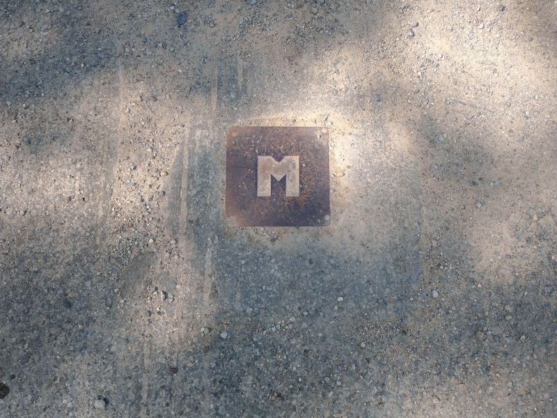
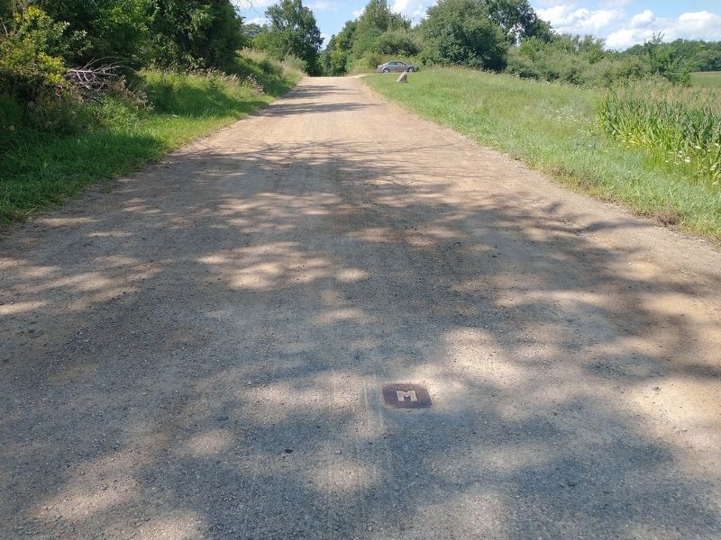
Near Camden in Hillsdale County, Michigan — The American Midwest (Great Lakes)
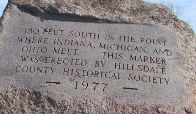
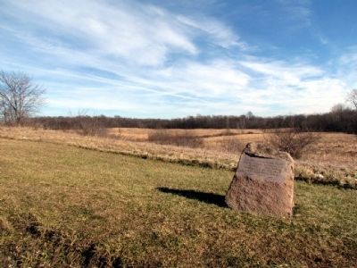
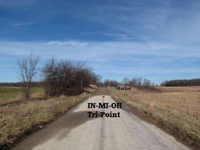
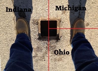
Where Indiana, Michigan, and Ohio Meet
Erected 1977 by Hillsdale County (Michigan) Historical Society.
Topics. This historical marker is listed in this topic list: Political Subdivisions.
Location. 41° 41.791′ N, 84° 48.355′ W. Marker is near Camden, Michigan, in Hillsdale County. Marker is on Cope Road, 0.7 miles south of W. Territorial Road, on the left when traveling south. From Indiana, marker is located on County Road N1000E approx. 0.7 miles north of County Road E300N. From Ohio, marker is located on the extension of County Road 1 approx. 1/4 mile north of County Road S. Touch for map. Marker is in this post office area: Montgomery MI 49255, United States of America. Touch for directions.
Other nearby markers. At least 8 other markers are within 5 miles of this marker, measured as the crow flies. Indiana's Northern Boundary Line (approx. 2.9 miles away in Indiana); The Nettle Lake Mound Group (approx. 3.9 miles away in Ohio); Chester Park Veterans Memorial (approx. 4˝ miles away); Camden Cemetery Veterans Memorial (approx. 4˝ miles away); Powers Memorial (approx. 4.6 miles away in Indiana); Powers Church (approx. 4.6 miles away in Indiana); Copperbelly Water Snake Habitat Restoration (approx. 4.8 miles away in Ohio); The Historical Marker Of Theodore McNaughton (approx. 4.9 miles away in Indiana). Touch for a list and map of all markers in Camden.
Credits. This page was last revised on August 15, 2022. It was originally submitted on December 25, 2012, by Duane Hall of Abilene, Texas. This page has been viewed 2,133 times since then and 68 times this year. Photos: 1, 2, 3, 4. submitted on December 25, 2012, by Duane Hall of Abilene, Texas. 5, 6. submitted on August 13, 2022, by Craig Doda of Napoleon, Ohio. • Bill Pfingsten was the editor who published this page.
