Oceanside in San Diego County, California — The American West (Pacific Coastal)
Oceanside Pier
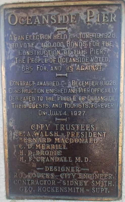
Photographed by Denise Boose, October 30, 2023
1. Oceanside Pier Marker
Contract awarded - December 8, 1926. Construction finished and Pier officailly dedicated to the people of Oceanside, their guests, and tourists, forever on July 4, 1927.
Erected by City of Oceanside.
Topics. This historical marker is listed in this topic list: Notable Places. A significant historical month for this entry is June 1870.
Location. 33° 11.677′ N, 117° 23.024′ W. Marker is in Oceanside, California, in San Diego County. It is at the intersection of North Pacific Street and Pier View Way, on the right when traveling south on North Pacific Street. Touch for map. Marker is in this post office area: Oceanside CA 92054, United States of America. Touch for directions.

Regionally, this marker is in California’s Peninsular Ranges. It is also in the American Borderlands and on the Pacific Coast. Globally, it is in North America, on the Ring of Fire, on the Pacific Rim, in the Western Hemisphere, in the Western World, and in the Anglosphere. Historically, it finds itself in what was once New Spain and also Mexico’s Alta California.
Other nearby markers. At least 8 other markers are within 3 miles of this marker, measured as the crow flies: Kawasaki Ninja ZX900 (within shouting distance of this marker); The Top Gun House (within shouting distance of this marker); Andrew Jackson Myers (approx. ¼ mile away); September 11th Memorial (approx. 0.4 miles away); Remember Pearl Harbor (approx. 1.1 miles away); Alligator Marines (approx. 1.8 miles
this page online
Photographed by Denise Boose, October 15, 2010
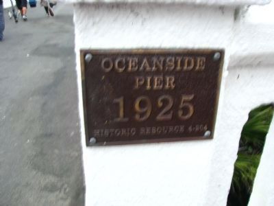
2. Plaque at Entrance to Pier
Oceanside Pier - 1925
Historic Sequence 4-EG4
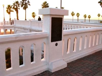
Photographed by Denise Boose, December 20, 2012
3. Oceanside Pier Marker
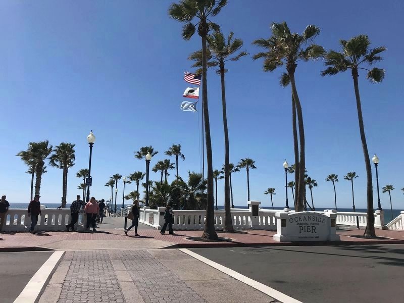
Photographed by Adam Margolis, March 11, 2022
4. Oceanside Pier Marker
Marker can be seen in the center-right of image, along the sidewalk.
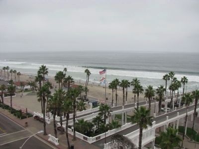
Photographed by Denise Boose, October 14, 2010
5. Oceanside Pier
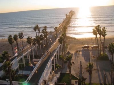
Photographed by Denise Boose, December 20, 2012
6. Oceanside Pier
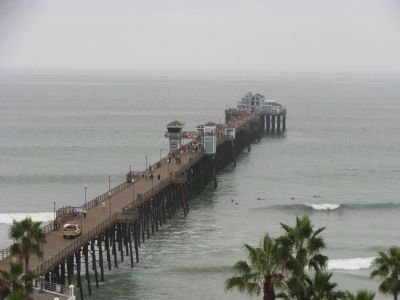
Photographed by Denise Boose, October 14, 2010
7. Oceanside Pier
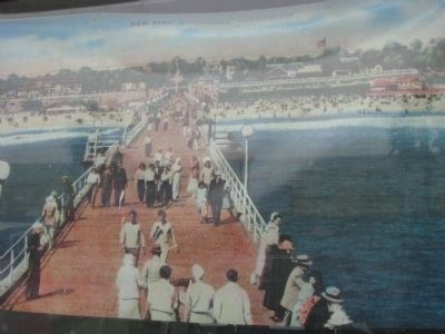
8. Oceanside Pier
Credits. This page was last revised on March 10, 2026. It was originally submitted on December 26, 2012, by Denise Boose of Tehachapi, California. This page has been viewed 944 times since then and 41 times this year. Photos: 1. submitted on October 30, 2023, by Denise Boose of Tehachapi, California. 2, 3. submitted on December 26, 2012, by Denise Boose of Tehachapi, California. 4. submitted on April 24, 2022, by Adam Margolis of Mission Viejo, California. 5, 6, 7, 8. submitted on December 26, 2012, by Denise Boose of Tehachapi, California. • Syd Whittle was the editor who published this page.
