Switzerland in St. Johns County, Florida — The American South (South Atlantic)
St. Johns County
⎯⎯⎯
New Switzerland Plantation
Photographed by Mike Stroud, December 2, 2012
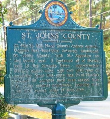
1. St. Johns County Marker
St. Johns County
On July 21, 1821 Major General Andrew Jackson, Florida's first Territorial Governor, established St. Johns County, with St. Augustine as the county seat. It contained all Florida east of the Suwanee River, approximately 39,400 square miles with over 1,100 miles of coastline. Since 1821, more than 2/3 of Florida's present 67 counties have been carved from St. Johns' original boundaries, reducing it to but 600 square miles of land area.
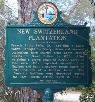
New Switzerland Plantation
Francis Phillip Fatio, Sr. (1724 - 1811) a Swiss native, brought his family, slaves and personal possessions here shortly after Spain ceded Florida to Great Britain in 1763. After obtaining a crown grant of 10,000 acres in this area, Fatio imported materials from England and built a country estate where he lived the life of a frontier baron. The plantation buildings were destroyed during the East Florida Patriot revolt in 1812.
Erected 1967 by St. Johns County Historical Commission.
Topics and series. This historical marker is listed in this topic list: Notable Places. In addition, it is included in the Former U.S. Presidents: #07 Andrew Jackson
this page online
Location. 30° 4.533′ N, 81° 38.875′ W. Marker is in Switzerland, Florida, in St. Johns County. It is on State Road 13 near Swiss Lane, on the right when traveling north. Touch for map. Marker is in this post office area: Saint Johns FL 32259, United States of America. Touch for directions.

Regionally, this marker is in First Coast and in Greater Jacksonville. It is also in the American South and on the Eastern Seaboard. Globally, it is in the North Atlantic Region, North America, a Gulf of Mexico state, the Western Hemisphere, the Western World, and the Anglosphere. Historically, it finds itself in what was once New Spain, the territory of the Mississippian Culture, one of the Confederate States of America, and the Antebellum South.
Other nearby markers. At least 8 other markers are within 2 miles of this marker, measured as the crow flies: Alpine Groves (about 300 feet away, measured in a direct line); History of Alpine Groves Park (approx. 0.2 miles away); a different marker also named History of Alpine Groves Park (approx. half a mile away); Welcome to Beluthahatchee Park
Photographed by Mike Stroud, December 2, 2012
2. New Switzerland Plantation Marker
Photographed by Mike Stroud, December 2, 2012
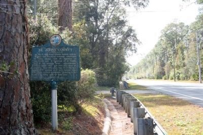
3. St. Johns County Marker looking south along Florida Route 13
Photographed by Mike Stroud, December 2, 2012
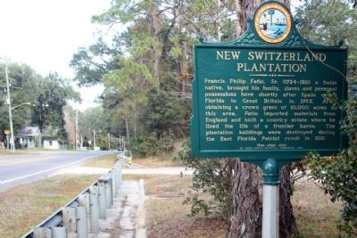
4. New Switzerland Plantation Marker, seen looking north along Florida Route 13
Credits. This page was last revised on January 2, 2019. It was originally submitted on December 27, 2012, by Mike Stroud of Bluffton, South Carolina. This page has been viewed 2,451 times since then and 166 times this year. Photos: 1, 2, 3, 4. submitted on December 29, 2012, by Mike Stroud of Bluffton, South Carolina.
