Near Baldwyn in Lee County, Mississippi — The American South (East South Central)
Union Wagon Train
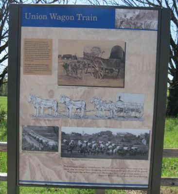
The supply train consisted of 250 wagons, each pulled by a team of four to six horses or mules. The wagons carried ammunition, food, forage and equipment, and also served as ambulances.
Quote (bottom of tablet): "Pack animals, wagons, ambulances, the sick, servants, all of those necessary evils which clog an army, came dragging and straggling along in front of the guard. They ought not to have gone over the bridge but ... they moved right on ..." - Captain William Forse Scott, 4th Iowa Cavalry
Topics. This historical marker is listed in this topic list: War, US Civil.
Location. 34° 30.666′ N, 88° 43.92′ W. Marker is near Baldwyn, Mississippi, in Lee County. Marker is on Tishomingo Creek Overlook Road, 0.1 miles north of Ripley Road (State Highway 370), on the right when traveling south. Marker is at the Brice's Crossroads Auto Tour Stop 7, on a single lane paved park road which leads off Ripley Road. The park road is 1/3 mile northwest of the intersection of Ripley Road and Bethany Road (Brice's Crossroads). Touch for map. Marker is in this post office area: Baldwyn MS 38824, United States of America. Touch for directions.
Other nearby markers. At least 8 other markers are within walking distance of this marker. Terrain and Landscape (within shouting distance of this marker); Artillery at Log Cabin Ridge (within shouting distance of this marker); Brice's Cross Roads (within shouting distance of this marker); General Barteau's Flank Movement (about 300 feet away, measured in a direct line); Tishomingo Creek Bridge (about 300 feet away); Chief Tishomingo (about 400 feet away); a different marker also named Brice's Cross Roads (about 500 feet away); a different marker also named Tishomingo Creek Bridge (about 500 feet away). Touch for a list and map of all markers in Baldwyn.
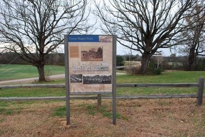
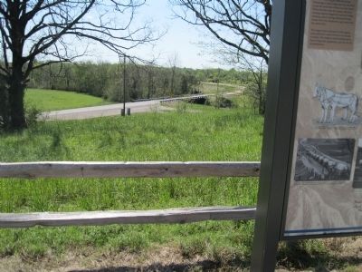
More about this marker. The marker is on a hill overlooking Tishomingo Creek and Bridge.
Regarding Union Wagon Train. The tablet has the following drawings and photographs:
Top Right Corner Drawing: "Baggage Train on the March" - provided for the marker from Frank Leslie's Illustrated Newspaper
Top Right Photograph: "Covered Wagon for Headquarters Baggage" - provided for the marker courtesy of the Library of Congress
Center Drawing: "Six-Mule Team Complete, Harnessed and Hitched to U.S. Army Wagon," provided for the marker from The Official Military Atlas of the Civil War, David Rumsey Map Collection"
Bottom Photos: "Union wagon train entering Petersburg, Virginia - April 1865" and "Wagon Train of the Military Telegraph Corps in Richmond, Virginia" - Both provided for the marker courtesy of the Library of Congress
Related markers. Click here for a list of markers that are related to this marker.
Credits. This page was last revised on June 16, 2016. It was originally submitted on November 1, 2012, by David Graff of Halifax, Nova Scotia. This page has been viewed 696 times since then and 28 times this year. Last updated on December 27, 2012, by David Graff of Halifax, Nova Scotia. Photos: 1. submitted on November 1, 2012, by David Graff of Halifax, Nova Scotia. 2. submitted on December 3, 2015, by Brandon Fletcher of Chattanooga, Tennessee. 3. submitted on November 1, 2012, by David Graff of Halifax, Nova Scotia. • Kevin W. was the editor who published this page.


