
Frankfort in Franklin County, Kentucky — The American South (East South Central)
Lewis and Clark in Kentucky
Lewis & Sheheke
⎯⎯⎯
William Clark in Frankfort
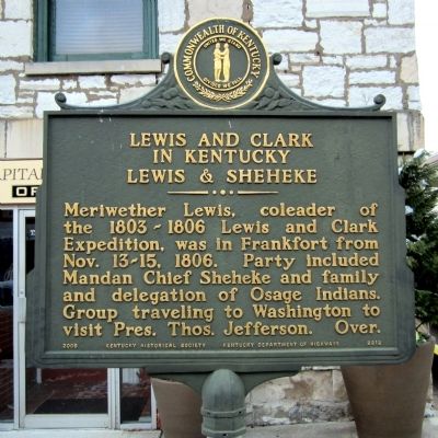
Photographed by Bernard Fisher, December 30, 2012
1. Lewis and Clark in Kentucky Marker
(side 1)
Lewis and Clark in Kentucky
Lewis & Sheheke
Meriwether Lewis, coleader of the 1803-1806 Lewis and Clark Expedition, was in Frankfort from Nov. 13-15, 1806. Party included Mandan Chief Sheheke and family and delegation of Osage Indians. Group traveling to Washington to visit Pres. Thos. Jefferson. Over.
(side 2)
William Clark in Frankfort
William Clark, coleader of 1803-1806 Lewis & Clark Expedition, visited Frankfort many times. On Oct. 29, 1809, he confirmed the death of Meriwether Lewis and discussed it with Christopher Greenup, Charles Scott, and others while passing through Frankfort on way to Washington.
Presented by the Ohio River Chapter-Lewis & Clark Trail Heritage Foundation, National Park Service, Ky. Lewis & Clark Bicentennial Commission, Capital City Museum.
Erected 2006 by Kentucky Historical Society, Kentucky Department of Highways. (Marker Number 2212.)
Topics and series. This historical marker is listed in these topic lists: Exploration • Indigenous Peoples and Communities. In addition, it is included in the Kentucky Historical Society, and the Lewis & Clark Expedition
this page online
Location. 38° 11.909′ N, 84° 52.553′ W. Marker is in Frankfort, Kentucky, in Franklin County. It is on Ann Street (Kentucky Route 420) south of West Broadway Street, on the left when traveling south. Touch for map. Marker is in this post office area: Frankfort KY 40601, United States of America. Touch for directions.

Regionally, this marker is in Kentucky’s Bluegrass Region. It is also in the American South and specifically in the Upper South. Globally, it is in North America, the Western Hemisphere, the Western World, and the Anglosphere. Historically, it finds itself in what was once the territory of the Mississippian Culture and also the Antebellum South.
Other nearby markers. At least 8 other markers are within walking distance of this marker: First Christian Church (a few steps from this marker); Hiram Lodge No. 4 F. & A.M. (within shouting distance of this marker); The Famous Old Weisiger House (within shouting distance of this marker); Surveyed July 16, 1773 By Hancock Taylor (within shouting distance of this marker); Capt. Daniel Weisiger III / Weisiger House
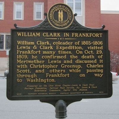
Photographed by Bernard Fisher, December 30, 2012
2. William Clark in Frankfort Marker
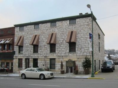
Photographed by Bernard Fisher, December 30, 2012
3. Ann Street
Credits. This page was last revised on December 17, 2019. It was originally submitted on December 31, 2012, by Bernard Fisher of Richmond, Virginia. This page has been viewed 964 times since then and 17 times this year. Photos: 1, 2, 3. submitted on December 31, 2012, by Bernard Fisher of Richmond, Virginia.
