Centreville in Queen Anne's County, Maryland — The American Northeast (Mid-Atlantic)
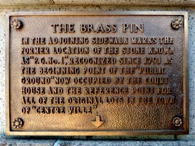
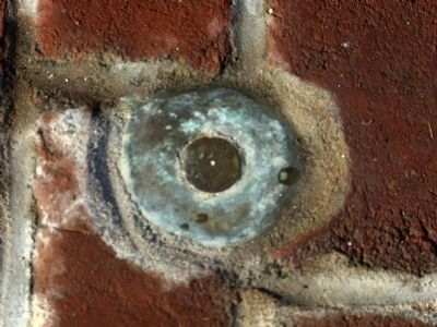
The Brass Pin
Topics. This historical marker is listed in this topic list: Government & Politics. A significant historical year for this entry is 1791.
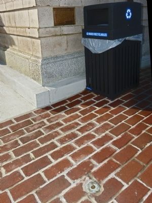
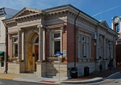
Location. 39° 2.679′ N, 76° 3.907′ W. Marker is in Centreville, Maryland, in Queen Anne's County. Marker is on North Commerce Street (Maryland Route 213), on the left when traveling north. Marker is on the corner of Lawyer's Row and North Commerce Street, on the northeast wall of the Centreville National Bank. Touch for map. Marker is at or near this postal address: 109 North Commerce Street, Centreville MD 21617, United States of America. Touch for directions.
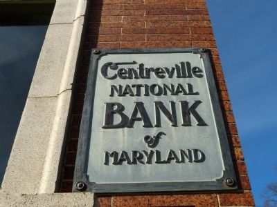
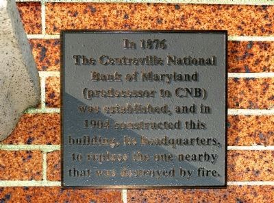
Other nearby markers. At least 8 other markers are within walking distance of this marker. Centreville National Bank of Maryland (here, next to this marker); Queen Anne's County Courthouse (a few steps from this marker); Honor • Valor • WWI • WWII • Korea • Vietnam (within shouting distance of this marker); The Courthouse (within shouting distance of this marker); Queen Anne’s County (within shouting distance of this marker); Short History of Centreville (within shouting distance of this marker); a different marker also named The Queen Anne's County Courthouse (within shouting distance of this marker); Wright’s Chance (about 300 feet away, measured in a direct line). Touch for a list and map of all markers in Centreville.
Credits. This page was last revised on June 16, 2016. It was originally submitted on January 1, 2013, by Allen C. Browne of Silver Spring, Maryland. This page has been viewed 453 times since then and 8 times this year. Photos: 1, 2, 3, 4, 5, 6. submitted on January 1, 2013, by Allen C. Browne of Silver Spring, Maryland. • Bill Pfingsten was the editor who published this page.
