Warfield in Brunswick County, Virginia — The American South (Mid-Atlantic)
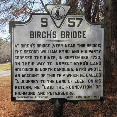
Birch's Bridge
Erected 1932 by Conservation & Development Commission. (Marker Number S-57.)
Topics and series. This historical marker is listed in these topic lists: Colonial Era • Exploration • Settlements & Settlers. In addition, it is included in the Virginia Department of Historic Resources (DHR) series list. A significant historical month for this entry is September 1733.
Location. 36° 56.57′ N, 77° 44.078′ W. Marker is in Warfield, Virginia, in Brunswick County. Marker is at the intersection of Boydton Plank Road (U.S. 1) and Old Stage Road (County Route 712), on the right when traveling north on Boydton Plank Road. Touch for map. Marker is in this post office area: Warfield VA 23889, United States of America. Touch for directions.
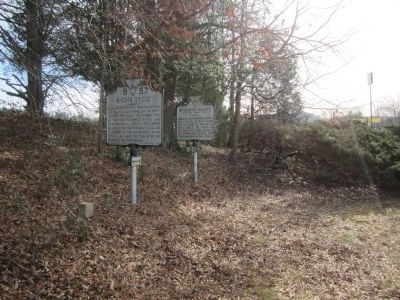
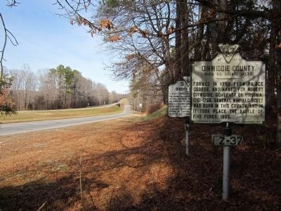
Other nearby markers. At least 8 other markers are within 7 miles of this marker, measured as the crow flies. Dinwiddie County / Brunswick County (here, next to this marker); Brunswick County, Virginia (within shouting distance of this marker); Origins of 4-H in Virginia (approx. 4.1 miles away); Birthplace of Roger Atkinson Pryor (approx. 4.1 miles away); Sapony Episcopal Church (approx. 5 miles away); Ebenezer Academy (approx. 5.7 miles away); Elizabeth Hobbs Keckley (1818-1907) (approx. 5.9 miles away); Sturgeon Creek (approx. 6.8 miles away). Touch for a list and map of all markers in Warfield.
Credits. This page was last revised on June 16, 2016. It was originally submitted on January 5, 2013, by Bernard Fisher of Richmond, Virginia. This page has been viewed 430 times since then and 11 times this year. Photos: 1, 2, 3, 4. submitted on January 5, 2013, by Bernard Fisher of Richmond, Virginia.


