Fultonham in Schoharie County, New York — The American Northeast (Mid-Atlantic)
The Upper Fort 1777
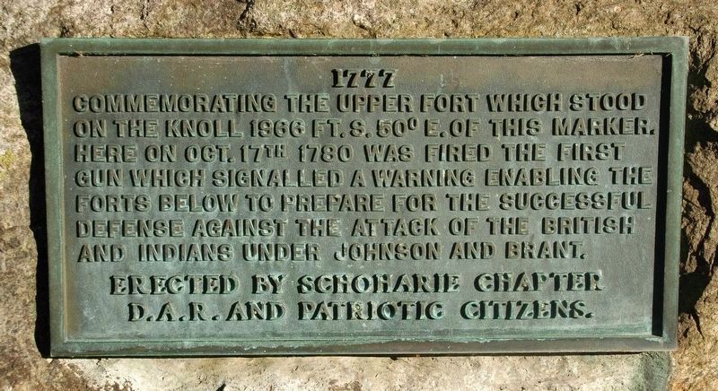
Photographed by Howard C. Ohlhous, February 4, 2017
1. The Upper Fort 1777 Marker
Erected by D.A.R. Schoharie Chapter & Patriotic Citizens.
Topics and series. This historical marker is listed in these topic lists: Forts and Castles • Patriots & Patriotism • War, US Revolutionary. In addition, it is included in the Daughters of the American Revolution (DAR) series list. A significant historical year for this entry is 1777.
Location. 42° 34.928′ N, 74° 23.458′ W. Marker is in Fultonham, New York, in Schoharie County. It is on New York State Route 30, on the right when traveling north. The marker plaque is afixed to a small boulder set back aways from the road, under the trees. There are two New York State historic markers closer to the road. . Touch for map. Marker is at or near this postal address: 3632 State Route 30, Fultonham NY 12071, United States of America. Touch for directions.

Regionally,
this page online
Other nearby markers. At least 8 other markers are within 2 miles of this marker, measured as the crow flies: Site of Upper Valley Fort (a few steps from this marker); Timothy Murphy (a few steps from this marker); Here Col. John Harper (approx. 1.3 miles away); Vroman's Land (approx. 1.6 miles away); Bouck's Island (approx. 1.6 miles away); Smoke Generator (approx. 1.7 miles away); Town of Fulton (approx. 1.7 miles away); The Timothy Murphy Trail (approx. 1.8 miles away). Touch for a list and map of all markers in Fultonham.
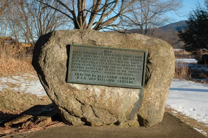
Photographed by Howard C. Ohlhous, February 4, 2017
2. The Upper Fort 1777 Marker
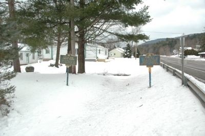
Photographed by Howard C. Ohlhous, January 5, 2013
3. The Upper Fort 1777 Marker
The Upper Fort plaque is on the stone to the far left.
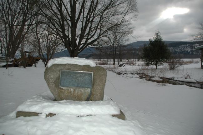
Photographed by Howard C. Ohlhous, January 5, 2013
4. The Upper Fort 1777 Marker
Credits. This page was last revised on February 9, 2017. It was originally submitted on January 6, 2013, by Howard C. Ohlhous of Duanesburg, New York. This page has been viewed 937 times since then and 44 times this year. Photos: 1, 2. submitted on February 6, 2017, by Howard C. Ohlhous of Duanesburg, New York. 3, 4. submitted on January 6, 2013, by Howard C. Ohlhous of Duanesburg, New York. • Bill Pfingsten was the editor who published this page.
